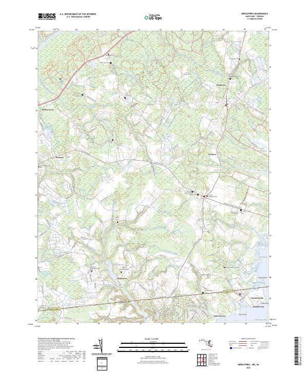
2023 Map of Girdletree
USGS Topo · Published 2023About this map
Purnell Bay and the marshlands of the Worcester Co Accomack Co border anchor this detailed survey of the Maryland-Virginia line. The landscape is defined by an intricate network of drainage and transport, where Marshall Ditch and Jones Ditch cut through the coastal lowlands toward the Pocomoke River. The settlement pattern reflects the area's agricultural and maritime history, with rural hubs like Girdletree, Stockton, and Welbourne connected by long-standing routes such as Stockton Rd.
Find a feature on this map
152 named features on this map. Tap any name to fly to it.
Don’t see what you’re looking for? This feature index may not catch every label — zoom into the map to look around manually.
Map Details
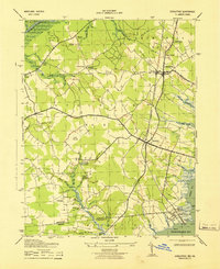
Editions of this 2023 Girdletree Map
This is the sole edition of this map. No revisions or reprints were ever made.
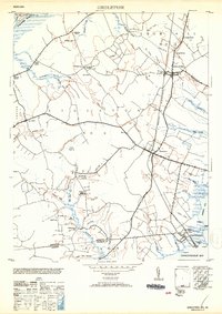
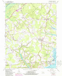
Historical Maps of Bessen Landing Through Time
4 maps found