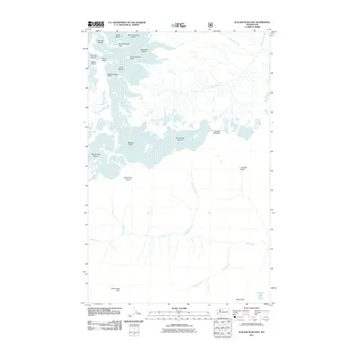
2011 Map of Glacier Peak East
USGS Topo · Published 2011About this map
Glacier Peak serves as the focal point for this high-altitude landscape, where numerous ice fields radiate from the summit and surrounding ridges. The map documents the extensive reach of the Suiattle Glacier, Honeycomb Glacier, and White Chuck Glacier during the early 21st century. These ice masses feed a network of drainages including the Suiattle River and the White River, which flow through steep corridors such as Thunder Basin. Notable high points like Disappointment Peak, Mount Saul, and Indian Head Peak define the hydrological divides, while smaller features like Airplane Lake and Cool Glacier illustrate the varied alpine terrain. The document provides a detailed record of glacial boundaries and high-mountain water sources, tracing the origins of the Lightning Creek and Amber Creek systems as they descend from the North Cascades peaks.
Find a feature on this map
27 named features on this map. Tap any name to fly to it.
Don’t see what you’re looking for? This feature index may not catch every label — zoom into the map to look around manually.
Map Details
Editions of this 2011 Glacier Peak East Map
This is the sole edition of this map. No revisions or reprints were ever made.
Other maps of this area

1899 · Glacier Peak
USGS Topo · 1:125,000

1901 · Glacier Peak
USGS Topo · 1:125,000

1901 · Chiwaukum
USGS Topo · 1:125,000

1902 · Skykomish
USGS Topo · 1:125,000

1902 · Stehekin
USGS Topo · 1:125,000

1904 · Stehekin
USGS Topo · 1:125,000

1904 · Chiwaukum
USGS Topo · 1:125,000

1905 · Skykomish
USGS Topo · 1:125,000

1944 · Holden
USGS Topo · 1:62,500

1949 · Holden
USGS Topo · 1:62,500