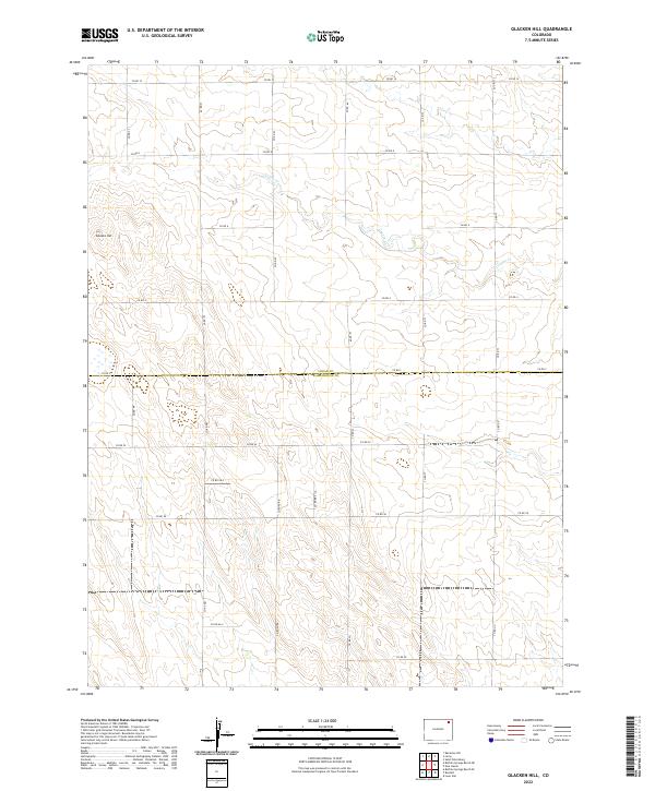
2022 Map of Glacken Hill
USGS Topo · Published 2022About this map
Glacken Hill rises in the western portion of this high plains landscape, situated along the border of Logan Co and Washington Co. The terrain is defined by the intermittent drainage of Coyote Cr, which carves subtle valleys across the expansive open ranges of the Colorado eastern plains. This 2022 survey captures a strictly rural environment structured by the Public Land Survey System, where agricultural and grazing sections are neatly partitioned by a grid of local corridors like Co Rd 10 and Co Rd 6. The geography here reflects the persistent solitude of the High Plains, where human presence is primarily indicated by these section-line roads and the occasional farmstead or water management feature, rather than established towns or commercial centers.
Find a feature on this map
31 named features on this map. Tap any name to fly to it.
Don’t see what you’re looking for? This feature index may not catch every label — zoom into the map to look around manually.
Map Details
Editions of this 2022 Glacken Hill Map
This is the sole edition of this map. No revisions or reprints were ever made.
Other maps of this area

1951 · Reiradon Hill
USGS Topo · 1:24,000

1954 · Sterling
USGS Topo · 1:250,000

1958 · Sterling
USGS Topo · 1:250,000

1972 · New Haven
USGS Topo · 1:24,000

1972 · Glacken Hill
USGS Topo · 1:24,000

1972 · St Petersburg
USGS Topo · 1:24,000

1972 · Lone Star
USGS Topo · 1:24,000

1972 · Leroy
USGS Topo · 1:24,000

1972 · Burdett
USGS Topo · 1:24,000

1973 · Buffalo Springs Ranch NE
USGS Topo · 1:24,000