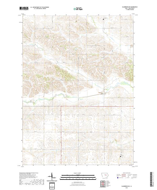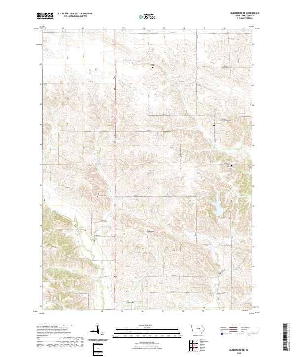
2022 Map of Gladbrook SE
USGS Topo · Published 2022About this map
Toledo sits at the southern edge of this agricultural landscape in Tama County, where the regular grid of Iowa country roads meets a complex network of waterways. The terrain is defined by the winding paths of Otter Creek, Salt Cr, and Jordan Cr, which create a rolling topography that breaks the geometric precision of the section lines. A series of small, rural cemeteries are distributed throughout the townships, providing significant data points for local genealogy and land-use history.
Find a feature on this map
41 named features on this map. Tap any name to fly to it.
Don’t see what you’re looking for? This feature index may not catch every label — zoom into the map to look around manually.
Map Details
Editions of this 2022 Gladbrook SE Map
This is the sole edition of this map. No revisions or reprints were ever made.
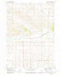
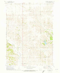
Historical Maps of Toledo Through Time
4 maps found