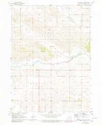
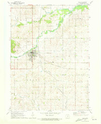
1971 Map of Gladbrook NE
USGS Topo · Published 1980About this map
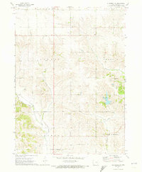
Wolf Creek meanders through this agricultural landscape in northeast Tama County, defining a drainage pattern that also includes Twelvemile Creek, Fourmile Creek, and Salt Creek. The map documents a period of rural stability in the townships of Grant, Buckingham, Crystal, and Perry during the early 1970s. Transportation through the northern reaches is anchored by the Chicago and North Western railroad line, while several Gaging Stations monitor the local waterways. For family historians, the sheet is particularly valuable for its inclusion of several localized burial grounds, including Dinsdale Cem, Crystal Cem, and Bakers Grove Cem, providing clear spatial context for these community landmarks within the grid of section lines and farm roads.
Find a feature on this map
13 named features on this map. Tap any name to fly to it.
Don’t see what you’re looking for? This feature index may not catch every label — zoom into the map to look around manually.
Map Details
Editions of this 1971 Gladbrook NE Map
2 editions found
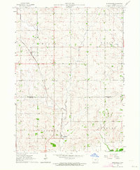
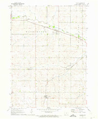
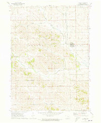
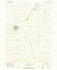
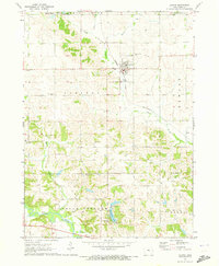
Other maps of this area

1954 · Waterloo
USGS Topo · 1:250,000

1955 · Waterloo
USGS Topo · 1:250,000
1963 · Buckingham
USGS Topo · 1:24,000
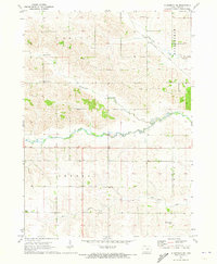
1971 · Gladbrook NE
USGS Topo · 1:24,000
1971 · Lincoln
USGS Topo · 1:24,000
1971 · Traer
USGS Topo · 1:24,000
1971 · Clutier
USGS Topo · 1:24,000
1971 · Reinbeck
USGS Topo · 1:24,000
1971 · Garwin
USGS Topo · 1:24,000
1971 · Gladbrook SE
USGS Topo · 1:24,000