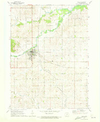
1971 Map of Traer
USGS Topo · Published 1973About this map
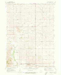
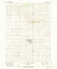
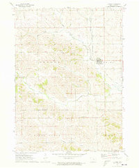
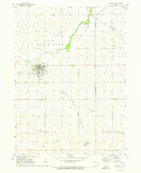
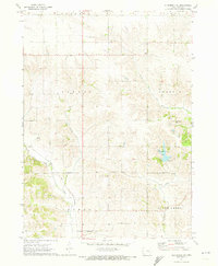
The town of Traer serves as a central hub for Tama County agriculture in this early 1970s survey. The landscape is defined by the convergence of several waterways, most notably Wolf Creek and Coon Creek, which wind through the township boundaries of Buckingham and Geneseo. The infrastructure of the era is clearly marked by the intersecting lines of the Chicago North Western and the Chicago Rock Island and Pacific railroads, illustrating the importance of rail transport for moving local goods.
Find a feature on this map
23 named features on this map. Tap any name to fly to it.
Don’t see what you’re looking for? This feature index may not catch every label — zoom into the map to look around manually.
Map Details
Editions of this 1971 Traer Map
This is the sole edition of this map. No revisions or reprints were ever made.
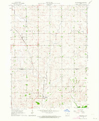
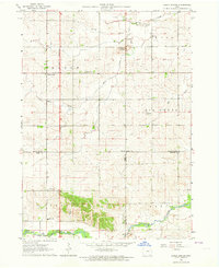
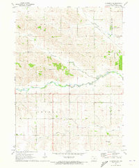
Other maps of this area

1954 · Waterloo
USGS Topo · 1:250,000

1955 · Waterloo
USGS Topo · 1:250,000
1963 · Buckingham
USGS Topo · 1:24,000
1963 · Eagle Center
USGS Topo · 1:24,000
1971 · Gladbrook NE
USGS Topo · 1:24,000
1971 · Elberon
USGS Topo · 1:24,000
1971 · Dysart
USGS Topo · 1:24,000
1971 · Clutier
USGS Topo · 1:24,000
1971 · Reinbeck
USGS Topo · 1:24,000
1971 · Gladbrook SE
USGS Topo · 1:24,000