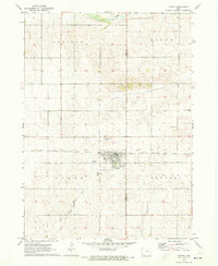
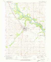
1971 Map of Dysart
USGS Topo · Published 1973About this map
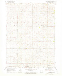
Dysart serves as the central hub of this agricultural landscape, situated at the intersection of the Chicago Rock Island and Pacific railroad and the county line between Tama and Benton counties. The town is flanked by essential community markers, including Dysart Cem, St Joseph Cem, and a municipal Park, reflecting its status as a established local center. Beyond the town grid, the terrain is defined by a dense network of watercourses, most notably Wolf Creek to the north and the meandering paths of Rock Creek, Salt Creek, and Stein Creek. These drainage patterns illustrate the region's suitability for the surrounding farmland. To the northeast of town, the Radio Towers (KKEL) and a local Golf Course provide modern context to this 1970s survey, while outlying sites like Ramthun Cem offer touchpoints for genealogists researching family ties in Bruce and Geneseo townships.
Find a feature on this map
19 named features on this map. Tap any name to fly to it.
Don’t see what you’re looking for? This feature index may not catch every label — zoom into the map to look around manually.
Map Details
Editions of this 1971 Dysart Map
This is the sole edition of this map. No revisions or reprints were ever made.
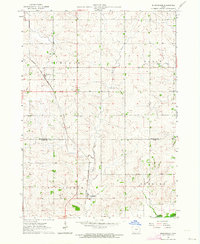
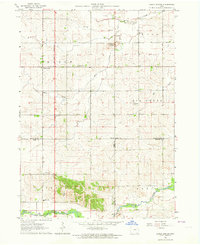
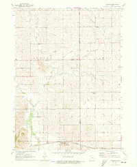
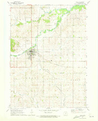
Other maps of this area

1954 · Waterloo
USGS Topo · 1:250,000

1955 · Waterloo
USGS Topo · 1:250,000
1963 · Buckingham
USGS Topo · 1:24,000
1963 · Eagle Center
USGS Topo · 1:24,000
1971 · Elberon
USGS Topo · 1:24,000
1971 · La Porte City
USGS Topo · 1:24,000
1971 · Traer
USGS Topo · 1:24,000
1971 · Clutier
USGS Topo · 1:24,000
1971 · Garrison
USGS Topo · 1:24,000
1971 · Keystone North
USGS Topo · 1:24,000