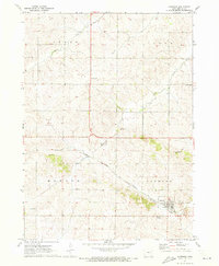
1971 Map of Garrison
USGS Topo · Published 1973About this map
The town of Garrison serves as the focal point of this Benton County landscape, situated at the confluence of agricultural life and rail transportation in the early 1970s. The Chicago Rock Island and Pacific railroad cuts a diagonal path through the township boundaries of Monroe, Jackson, Bruce, and Cedar, illustrating the vital connectivity of rural Iowa at the time. Local commerce and infrastructure are evident through several Quarries and the Garrison Dam on Hinkle Creek.
Find a feature on this map
18 named features on this map. Tap any name to fly to it.
Don’t see what you’re looking for? This feature index may not catch every label — zoom into the map to look around manually.
Map Details
Editions of this 1971 Garrison Map
This is the sole edition of this map. No revisions or reprints were ever made.
Other maps of this area

1954 · Waterloo
USGS Topo · 1:250,000

1955 · Waterloo
USGS Topo · 1:250,000

1963 · Eagle Center
USGS Topo · 1:24,000
1971 · Elberon
USGS Topo · 1:24,000
1971 · Van Horne
USGS Topo · 1:24,000
1971 · Dysart
USGS Topo · 1:24,000

1971 · La Porte City
USGS Topo · 1:24,000
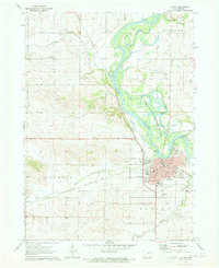
1971 · Vinton
USGS Topo · 1:24,000
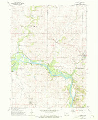
1971 · Brandon
USGS Topo · 1:24,000
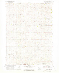
1971 · Keystone North
USGS Topo · 1:24,000