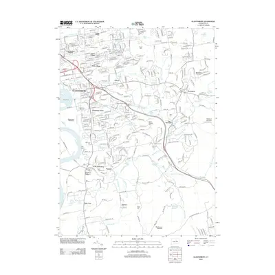
2012 Map of Glastonbury
USGS Topo · Published 2012About this map
The Connecticut River forms the western boundary of this landscape, where the fertile Glastonbury Meadows transition into a series of hills and suburban clusters. The town center is densely settled, while outlying villages like Hopewell, Addison, and Buckingham maintain distinct identities marked by local landmarks and burial grounds. The map captures a high density of historical sites, particularly cemeteries such as Still Hill Cem, Old Eastbury Cem, and Nipsic Cem, which serve as vital touchstones for local genealogy.
Find a feature on this map
351 named features on this map. Tap any name to fly to it.
Don’t see what you’re looking for? This feature index may not catch every label — zoom into the map to look around manually.
Map Details
Editions of this 2012 Glastonbury Map
This is the sole edition of this map. No revisions or reprints were ever made.
Other maps of this area

1892 · Hartford
USGS Topo · 1:62,500

1892 · Tolland
USGS Topo · 1:62,500

1892 · Gilead
USGS Topo · 1:62,500

1893 · Middletown
USGS Topo · 1:62,500

1906 · Farmington
USGS Topo · 1:125,000

1921 · Tolland
USGS Topo · 1:62,500

1928 · Cromwell
USGS Topo · 1:24,000

1928 · Windsor
USGS Topo · 1:24,000

1928 · Glastonbury
USGS Topo · 1:24,000

1928 · Manchester
USGS Topo · 1:24,000