Loading...
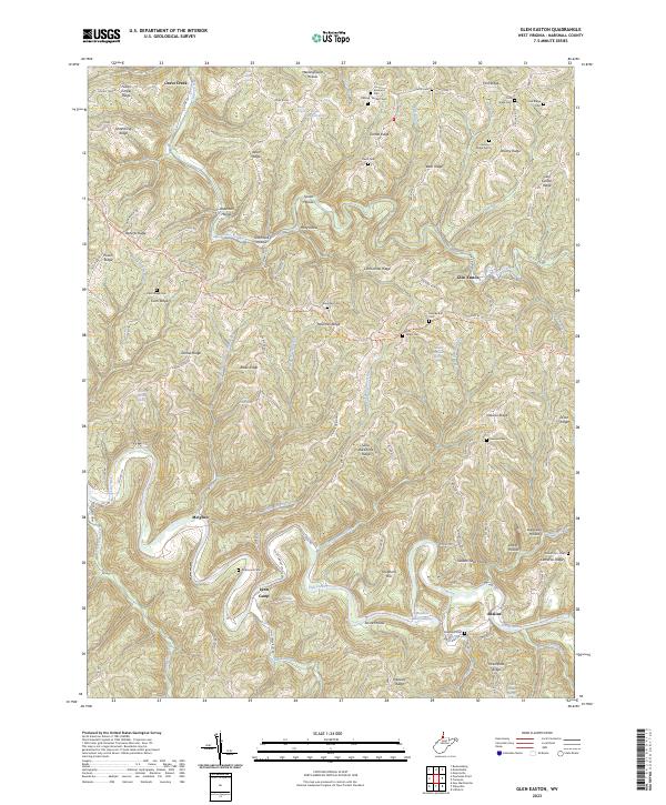
Loading map...2023 Map of Glen Easton
USGS Topo · Published 2023About this map
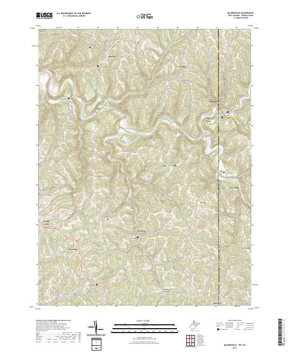
Glen Easton serves as a focal point for this section of Marshall County, situated where Grave Creek meets the highlands of the northern panhandle. The landscape is defined by its dendritic drainage patterns, with settlements like Adaline and Lynn Camp nestled in the narrow valleys of Fish Creek and Lynn Camp Run. The map reveal a deeply dissected plateau, where prominent features like Sallys Backbone Ridge and Roberts Ridge separate numerous hollows.
Find a feature on this map
109 named features on this map. Tap any name to fly to it.
Don’t see what you’re looking for? This feature index may not catch every label — zoom into the map to look around manually.
Map Details
Date Portrayed2023
Date Published2023
PublisherU.S. Geological Survey
Map TypeTopographic
Scale1:24000
Physical Dimensions24 x 29 inches
Editions of this 2023 Glen Easton Map
This is the sole edition of this map. No revisions or reprints were ever made.
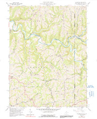
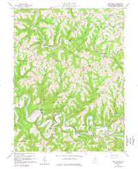
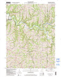
Historical Maps of Meighen Through Time
5 maps found
Featured Locations
Source Details
SourceU.S. Geological Survey
CopyrightPublic Domain