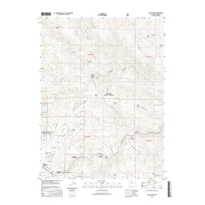
2016 Map of Glen Haven
USGS Topo · Published 2016About this map
Glen Haven and the community of Loveland Heights sit at the intersection of steep canyons and mountain drainages just east of the Rocky Mountain National Park boundary. This landscape is defined by the Big Thompson River and its North Fork, where settlements like Glen Comfort and Olympus Heights follow the narrow corridors of Big Thompson Canyon Rd. The topography is marked by significant landmarks such as Triangle Mtn, Crosier Mtn, and the distinctive Eagle Rock.
Find a feature on this map
81 named features on this map. Tap any name to fly to it.
Don’t see what you’re looking for? This feature index may not catch every label — zoom into the map to look around manually.
Map Details
Editions of this 2016 Glen Haven Map
This is the sole edition of this map. No revisions or reprints were ever made.
Other maps of this area
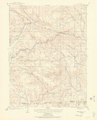
1905 · Mount Olympus
USGS Topo · 1:62,500
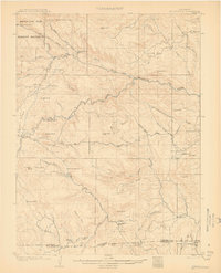
1907 · Mount Olympus
USGS Topo · 1:62,500
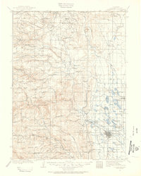
1907 · Livermore
USGS Topo · 1:125,000
1909 · Livermore
USGS Topo · 1:125,000
1915 · Longs Peak
USGS Topo · 1:125,000
1916 · Home
USGS Topo · 1:125,000
1919 · Rocky Mountain National Park
USGS Topo · 1:125,000
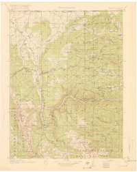
1920 · Home
USGS Topo · 1:125,000
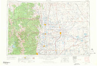
1954 · Greeley
USGS Topo · 1:250,000
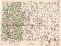
1957 · Greeley
USGS Topo · 1:250,000