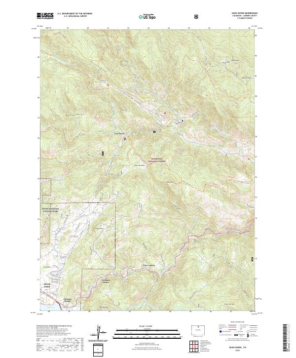
2022 Map of Glen Haven
USGS Topo · Published 2022About this map
Glen Haven and Glen Comfort occupy the tight canyon floors where the North Fork Big Thompson River and Miller Fork carve through the mountains. This 2022 survey captures the modern residential patterns of Loveland Heights and Olympus Heights near the eastern gateway to Rocky Mountain National Park. High-elevation landmarks like Storm Mtn and the Mummy Range define the skyline, while the remote Charles D Miller Grave near Dunraven Glade offers a specific point of local historical interest. The landscape is dominated by the intersection of protected lands within the Roosevelt National Forest, showing a network of recreational trails like the Crosier Mountain Trl and Bulwark Ridge Trl that navigate the steep terrain between Lake Estes and the high parks.
Find a feature on this map
73 named features on this map. Tap any name to fly to it.
Don’t see what you’re looking for? This feature index may not catch every label — zoom into the map to look around manually.
Map Details
Editions of this 2022 Glen Haven Map
This is the sole edition of this map. No revisions or reprints were ever made.
Other maps of this area

1905 · Mount Olympus
USGS Topo · 1:62,500

1907 · Mount Olympus
USGS Topo · 1:62,500

1907 · Livermore
USGS Topo · 1:125,000

1909 · Livermore
USGS Topo · 1:125,000

1915 · Longs Peak
USGS Topo · 1:125,000

1916 · Home
USGS Topo · 1:125,000

1919 · Rocky Mountain National Park
USGS Topo · 1:125,000

1920 · Home
USGS Topo · 1:125,000

1954 · Greeley
USGS Topo · 1:250,000

1957 · Greeley
USGS Topo · 1:250,000