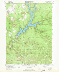
1969 Map of Glen Hazel
USGS Topo · Published 1972About this map
The East Branch Elk State Park Lake dominates this rugged portion of Elk County, created by the damming of the East Branch Clarion River. The landscape reveals a complex history of resource extraction, with numerous Oil Wells and Gas Wells scattered across the wooded ridges, alongside prominent Strip Mine operations near Rasselas. This confluence of energy production and conservation is marked by the vast reaches of Elk State Forest and State Game Lands No 25, which cover much of the high ground between deeply cut hollows like Whittaker Hollow and Ospeck Hollow.
Find a feature on this map
54 named features on this map. Tap any name to fly to it.
Don’t see what you’re looking for? This feature index may not catch every label — zoom into the map to look around manually.
Map Details
Editions of this 1969 Glen Hazel Map
2 editions found
Other maps of this area

1935 · Mt. Jewett
USGS Topo · 1:48,000

1940 · Mt. Jewett
USGS Topo · 1:62,500

1941 · Benezette
USGS Topo · 1:62,500

1941 · Ridgway
USGS Topo · 1:62,500

1943 · Benezette
USGS Topo · 1:62,500

1944 · Ridgway
USGS Topo · 1:62,500

1948 · Crosby
USGS Topo · 1:62,500

1948 · Wildwood Fire Tower
USGS Topo · 1:24,000
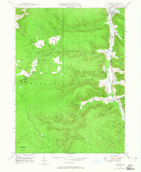
1948 · Crosby
USGS Topo · 1:24,000
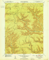
1950 · Wildwood Fire Tower
USGS Topo · 1:24,000
Featured Places
- Saint Marys, PA
- Jones Township, PA
- Glen Hazel, Jones Township
- Rasselas, Jones Township
- Streights, Jones Township