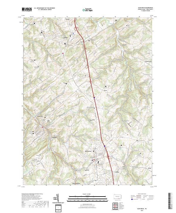
2023 Map of Glen Rock
USGS Topo · Published 2023About this map
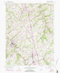
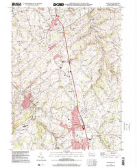
Shrewsbury and Glen Rock serve as central hubs in this southern York County landscape, where the terrain is deeply etched by the Dunkard Valley and the waters of Trout Run. The map reveals a dense network of country burial grounds and denominational landmarks, including the Emmanuel United Methodist Church Cem and the Codorus Church of the Brethren Cem, which speak to the area's deep-rooted congregational history. Transportation is defined by the winding paths of N Main St and the distinct corridor of Railroad Run, which connects the namesake village of Railroad to New Freedom. This modern survey documents the persistent settlement patterns of established villages like Loganville and Hametown, while also noting contemporary features such as the Shoestring Aviation Airfield.
Find a feature on this map
170 named features on this map. Tap any name to fly to it.
Don’t see what you’re looking for? This feature index may not catch every label — zoom into the map to look around manually.
Map Details
Editions of this 2023 Glen Rock Map
This is the sole edition of this map. No revisions or reprints were ever made.