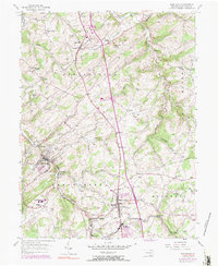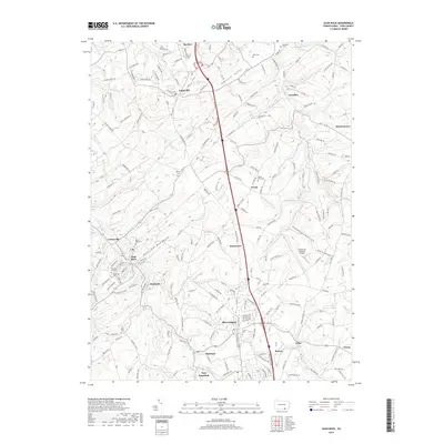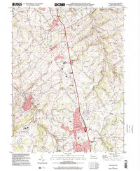
1999 Map of Glen Rock
USGS Topo · Published 2001About this map
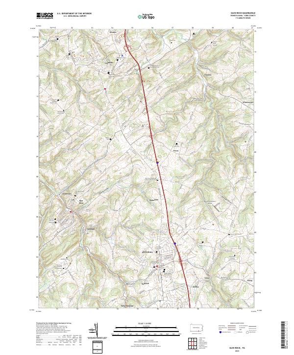
South Br Codorus Creek and its various tributaries carve through the rolling hills of southern York County, defining a landscape of tight-knit boroughs and agricultural crossroads. Near the turn of the millennium, the corridor between Loganville and New Freedom reflects a long history of settlement following the water gaps, where the oddly-named borough of Railroad and neighboring Shrewsbury sit as key points of interest. The map documents a dense network of local institutions, from the Susquehannock Sch to historic rural burial grounds like Saddlers Ch Cem and Friedensaal Ch Cem. The presence of the William H Kain County Park at the northern edge and the Bon Air Golf Course further south suggests the evolving land use of the late 20th century, transitioning from purely industrial and agricultural roots toward residential and recreational development while maintaining the distinct boundaries of townships like Springfield and Hopewell.
Find a feature on this map
61 named features on this map. Tap any name to fly to it.
Don’t see what you’re looking for? This feature index may not catch every label — zoom into the map to look around manually.
Map Details
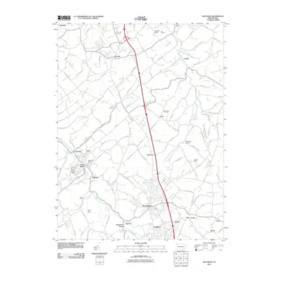
Editions of this 1999 Glen Rock Map
This is the sole edition of this map. No revisions or reprints were ever made.
Historical Maps of Shrewsbury Through Time
7 maps found