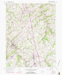
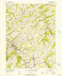
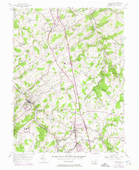
1954 Map of Glen Rock
USGS Topo · Published 1984About this map
Glen Rock and Shrewsbury anchor this southern York County landscape during a period of infrastructure expansion in the mid-20th century. The Penn Central railroad corridor parallels the South Branch Codorus Creek, tracing the valley through Seitzland and Railroad. This map records the early imprint of the interstate system, showing several interchanges where the highway bisects rural Springfield and Shrewsbury townships.
Find a feature on this map
68 named features on this map. Tap any name to fly to it.
Don’t see what you’re looking for? This feature index may not catch every label — zoom into the map to look around manually.
Map Details
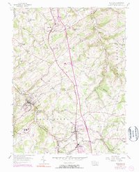
Editions of this 1954 Glen Rock Map
6 editions found
Other maps of this area

1900 · Parkton
USGS Topo · 1:62,500

1902 · Parkton
USGS Topo · 1:62,500

1905 · Westminster
USGS Topo · 1:62,500

1908 · York
USGS Topo · 1:62,500

1910 · York
USGS Topo · 1:62,500

1920 · Hanover
USGS Topo · 1:62,500

1922 · Hanover
USGS Topo · 1:62,500

1944 · New Freedom
USGS Topo · 1:31,680

1944 · Norrisville
USGS Topo · 1:31,680

1944 · Lineboro
USGS Topo · 1:31,680