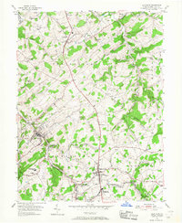
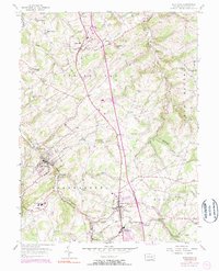
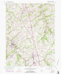
1954 Map of Glen Rock
USGS Topo · Published 1968About this map
The Pennsylvania railroad line serves as a central artery for commerce through this portion of York County, threading through the industrial and residential heart of Glen Rock. In the mid-1950s, the landscape here is characterized by a high density of rural institutions, particularly small schools such as the Schesslers Sch and Caslow Sch, alongside numerous community churches like Bupps Union Ch and St Peters Ch. The topography is defined by the carved valleys of the South Branch Codorus Creek and its many tributaries, creating a patchwork of wooded hills and cleared farmland. This era captures the transition between traditional agrarian life and the growing connectivity of the region, evidenced by the cluster of settlements at Shrewsbury and Hungerford, where the Stewartstown rail line meets the local road network. Genealogists will find significant value in the detailed mapping of local burial grounds, including the Chestnut Hill Cem and Ness Cem.
Find a feature on this map
65 named features on this map. Tap any name to fly to it.
Don’t see what you’re looking for? This feature index may not catch every label — zoom into the map to look around manually.
Map Details
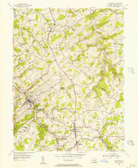
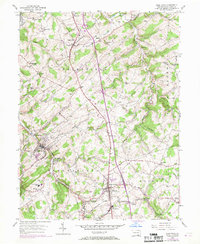
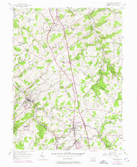
Editions of this 1954 Glen Rock Map
6 editions found
Other maps of this area

1900 · Parkton
USGS Topo · 1:62,500

1902 · Parkton
USGS Topo · 1:62,500

1905 · Westminster
USGS Topo · 1:62,500

1908 · York
USGS Topo · 1:62,500

1910 · York
USGS Topo · 1:62,500

1920 · Hanover
USGS Topo · 1:62,500

1922 · Hanover
USGS Topo · 1:62,500

1944 · New Freedom
USGS Topo · 1:31,680

1944 · Norrisville
USGS Topo · 1:31,680

1944 · Lineboro
USGS Topo · 1:31,680