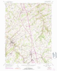
1954 Map of Glen Rock
USGS Topo · Published 1975About this map
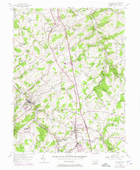
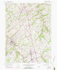
The Penn Central railroad cuts through the heart of southern York County, connecting a string of small boroughs and industrial hamlets in the mid-1950s. The settlement of Glen Rock serves as a primary hub, flanked by the residential and commercial centers of Shrewsbury and New Freedom. The landscape is defined by the winding paths of Codorus Creek and its many branches, which carved the valleys that dictated early road and rail placement.
Find a feature on this map
60 named features on this map. Tap any name to fly to it.
Don’t see what you’re looking for? This feature index may not catch every label — zoom into the map to look around manually.
Map Details
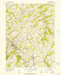
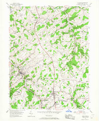
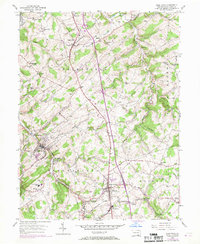
Editions of this 1954 Glen Rock Map
6 editions found
Other maps of this area

1900 · Parkton
USGS Topo · 1:62,500

1902 · Parkton
USGS Topo · 1:62,500

1905 · Westminster
USGS Topo · 1:62,500

1908 · York
USGS Topo · 1:62,500

1910 · York
USGS Topo · 1:62,500

1920 · Hanover
USGS Topo · 1:62,500

1922 · Hanover
USGS Topo · 1:62,500

1944 · New Freedom
USGS Topo · 1:31,680

1944 · Norrisville
USGS Topo · 1:31,680

1944 · Lineboro
USGS Topo · 1:31,680