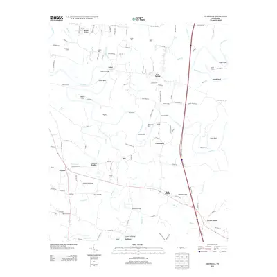
2013 Map of Glendale
USGS Topo · Published 2013About this map
The Duck River meanders through a landscape of historic crossing points and river bends in this part of Maury County. Topographic features like Whitworth Bend, Sowell Bend, and Cheek Bend illustrate the river's sinuous path, while landmarks such as Sowell Mill Bridge and Scribners Mill Bridge indicate where industry and travel once intersected the waterway. The settlement pattern is defined by several crossroads and small communities, including Glendale and Philadelphia.
Find a feature on this map
135 named features on this map. Tap any name to fly to it.
Don’t see what you’re looking for? This feature index may not catch every label — zoom into the map to look around manually.
Map Details
Editions of this 2013 Glendale Map
This is the sole edition of this map. No revisions or reprints were ever made.
Other maps of this area

1901 · Colombia
USGS Topo · 1:125,000

1936 · Godwin
USGS Topo · 1:24,000

1936 · Lewisburg
USGS Topo · 1:24,000

1936 · Verona
USGS Topo · 1:24,000

1936 · Campbells Station
USGS Topo · 1:24,000

1936 · Rally Hill
USGS Topo · 1:24,000

1936 · Carters Creek
USGS Topo · 1:24,000

1936 · Glendale
USGS Topo · 1:24,000

1936 · Columbia
USGS Topo · 1:24,000

1936 · Lynnville
USGS Topo · 1:24,000