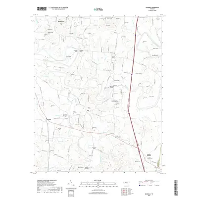
2019 Map of Glendale
USGS Topo · Published 2019About this map
Duck River meanders across this landscape, carving a series of dramatic loops including Sowell Bend, Vaughan Bend, and Cheeks Bend. The waterway's historical importance is underscored by numerous crossings such as the Sowell Mill Bridge and Howard Bridge. Further south, the terrain is defined by Fountain Creek and its many tributaries, supporting scattered settlements like Philadelphia, Beech Grove, and Glendale.
Find a feature on this map
144 named features on this map. Tap any name to fly to it.
Don’t see what you’re looking for? This feature index may not catch every label — zoom into the map to look around manually.
Map Details
Editions of this 2019 Glendale Map
This is the sole edition of this map. No revisions or reprints were ever made.
Other maps of this area

1901 · Colombia
USGS Topo · 1:125,000

1936 · Godwin
USGS Topo · 1:24,000

1936 · Lewisburg
USGS Topo · 1:24,000

1936 · Verona
USGS Topo · 1:24,000

1936 · Campbells Station
USGS Topo · 1:24,000

1936 · Rally Hill
USGS Topo · 1:24,000

1936 · Carters Creek
USGS Topo · 1:24,000

1936 · Glendale
USGS Topo · 1:24,000

1936 · Columbia
USGS Topo · 1:24,000

1936 · Lynnville
USGS Topo · 1:24,000