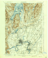
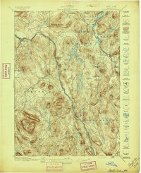
1938 Map of Glens Falls
USGS Topo · Published 1938About this map
The southern basin of Lake George serves as a dramatic backdrop for this 1930s reprint of 19th-century reconnaissance surveys, where the landscape is marked by the deep military history of the region. Evidence of colonial-era conflict is visible in the Fort William Henry Ruins, Fort George Ruins, and Fort Gage Ruins near the settlement of Caldwell. This era of tourism and industry is illustrated by the Cable RR ascending toward Prospect House and the numerous named points and islands such as Tea Id. and Assembly Pt. that line the shore.
Find a feature on this map
101 named features on this map. Tap any name to fly to it.
Don’t see what you’re looking for? This feature index may not catch every label — zoom into the map to look around manually.
Map Details
Editions of this 1938 Glens Falls Map
This is the sole edition of this map. No revisions or reprints were ever made.
Other maps of this area

1893 · Fort Ann
USGS Topo · 1:62,500
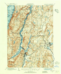
1893 · Whitehall
USGS Topo · 1:62,500
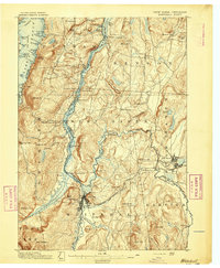
1895 · Whitehall
USGS Topo · 1:62,500
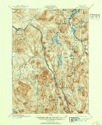
1895 · North Creek
USGS Topo · 1:62,500
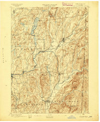
1895 · Cambridge
USGS Topo · 1:62,500

1895 · Fort Ann
USGS Topo · 1:62,500
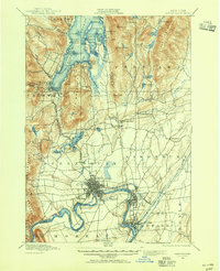
1895 · Glens Falls
USGS Topo · 1:62,500
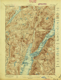
1897 · Bolton
USGS Topo · 1:62,500
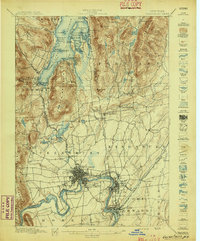
1897 · Glens Falls
USGS Topo · 1:62,500
1897 · North Creek
USGS Topo · 1:62,500