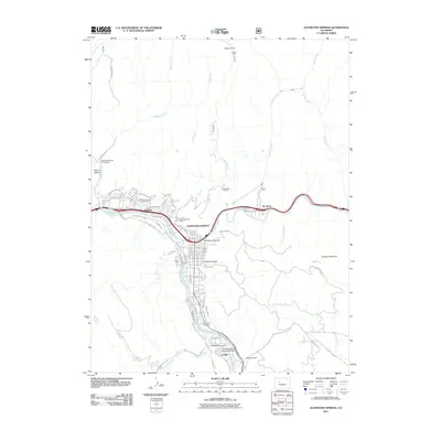
2011 Map of Glenwood Springs
USGS Topo · Published 2011About this map
The confluence of the Colorado River and the Roaring Fork River defines the layout of Glenwood Springs, where the city's residential and commercial streets follow the sharp contours of the river valleys. The town is flanked by dramatic elevations, notably Lookout Mountain to the east and Windy Point to the north. Transportation and utility infrastructure are prominent, with the Atkinson Canal and Glenwood Ditch tracing the lower slopes, while the Glenwood Springs Municipal Airport serves the southern end of the valley near Cardiff.
Find a feature on this map
73 named features on this map. Tap any name to fly to it.
Don’t see what you’re looking for? This feature index may not catch every label — zoom into the map to look around manually.
Map Details
Editions of this 2011 Glenwood Springs Map
This is the sole edition of this map. No revisions or reprints were ever made.
Other maps of this area

1927 · Glenwood Springs
USGS Topo · 1:125,000

1930 · Glenwood Springs
USGS Topo · 1:125,000

1957 · Leadville
USGS Topo · 1:250,000

1959 · Leadville
USGS Topo · 1:250,000

1960 · Leadville
USGS Topo · 1:250,000

1961 · Cattle Creek
USGS Topo · 1:24,000

1961 · Carbondale
USGS Topo · 1:24,000

1961 · Shoshone
USGS Topo · 1:24,000

1961 · Glenwood Springs
USGS Topo · 1:24,000

1962 · Leadville
USGS Topo · 1:250,000