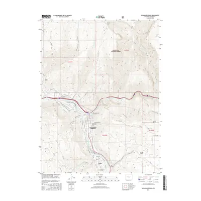
2016 Map of Glenwood Springs
USGS Topo · Published 2016About this map
Glenwood Springs serves as the focal point of this survey, situated at the dramatic confluence where the Roaring Fork River meets the Colorado River. The landscape is defined by the steep transition from the river valley to high-elevation features like Storm King and the rugged walls of Glenwood Canyon. Transportation corridors dominate the geography, from the modern highway winding through the canyon to the Rio Grande Trail, which repurposes the historical rail route for modern use.
Find a feature on this map
86 named features on this map. Tap any name to fly to it.
Don’t see what you’re looking for? This feature index may not catch every label — zoom into the map to look around manually.
Map Details
Editions of this 2016 Glenwood Springs Map
This is the sole edition of this map. No revisions or reprints were ever made.
Other maps of this area

1927 · Glenwood Springs
USGS Topo · 1:125,000

1930 · Glenwood Springs
USGS Topo · 1:125,000

1957 · Leadville
USGS Topo · 1:250,000

1959 · Leadville
USGS Topo · 1:250,000

1960 · Leadville
USGS Topo · 1:250,000

1961 · Cattle Creek
USGS Topo · 1:24,000

1961 · Carbondale
USGS Topo · 1:24,000

1961 · Shoshone
USGS Topo · 1:24,000

1961 · Glenwood Springs
USGS Topo · 1:24,000

1962 · Leadville
USGS Topo · 1:250,000