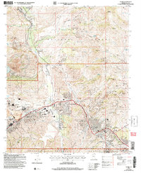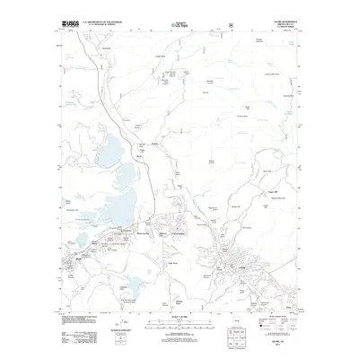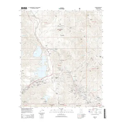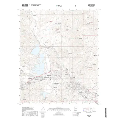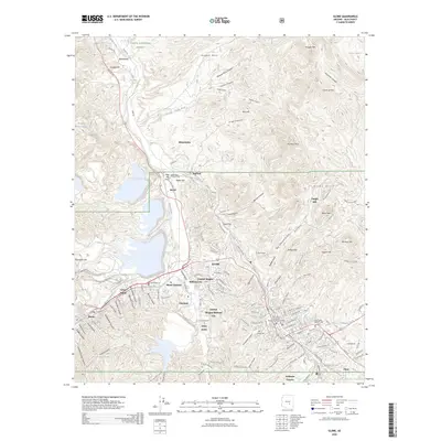
2021 Map of Globe
USGS Topo · Published 2021About this map
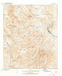
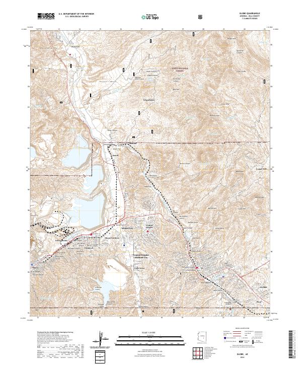
Globe and its neighboring mining-era communities occupy a complex landscape of ridges and washes within the Tonto National Forest. The modern development pattern is clearly visible in the densely clustered neighborhoods of Central Heights-Midland City, Claypool, and Little Acres, which contrast with the more dispersed rural settlements like Wheatfields and Radium to the north. These communities are linked by the Apache Trl and various canyon roads that follow the natural topography.
Find a feature on this map
174 named features on this map. Tap any name to fly to it.
Don’t see what you’re looking for? This feature index may not catch every label — zoom into the map to look around manually.
Map Details
Editions of this 2021 Globe Map
This is the sole edition of this map. No revisions or reprints were ever made.
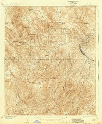
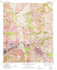
Historical Maps of Globe Through Time
10 maps found