
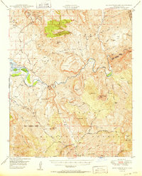
1950 Map of Rockinstraw Mtn
USGS Topo · Published 1950About this map
The Salt River carves a dramatic path through this 1950 Gila County landscape, flowing into the Roosevelt Reservoir past Redmond Flat and the Horseshoe Bend. This survey documents a transition in local infrastructure, noting the Inspiration Dam (Aband) and a series of specialized land uses, from the Sierra Ancha Experimental Forest in the northwest to the edge of the Fort Apache Indian Reservation in the northeast.
Find a feature on this map
71 named features on this map. Tap any name to fly to it.
Don’t see what you’re looking for? This feature index may not catch every label — zoom into the map to look around manually.
Map Details
Editions of this 1950 Rockinstraw Mtn Map
2 editions found
Other maps of this area

1900 · Florence
USGS Topo · 1:125,000

1901 · Globe
USGS Topo · 1:62,500

1902 · Globe
USGS Topo · 1:62,500

1902 · Florence
USGS Topo · 1:125,000

1907 · Roosevelt
USGS Topo · 1:125,000

1909 · Four Peaks
USGS Topo · 1:125,000

1912 · Roosevelt
USGS Topo · 1:125,000

1922 · Chrysotile
USGS Topo · 1:125,000

1945 · Globe
USGS Topo · 1:24,000

1945 · Inspiration
USGS Topo · 1:24,000