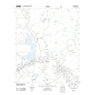
2004 Map of Globe
USGS Topo · Published 2007About this map
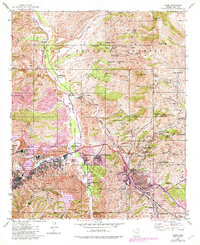
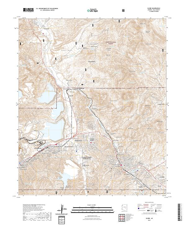
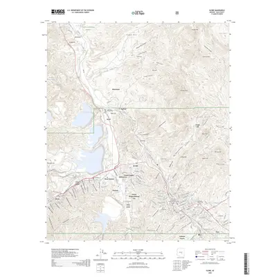
Globe and Miami anchor this industrial landscape during a period of massive copper operations within the Tonto National Forest. The map reveals a dense network of mining infrastructure, from the sprawling Inspiration Concentrator and International Smelter to dozens of named shafts like the Old Dominion Shaft and Big Johnnie Shaft. While the heavy industry of the Copper City Open Pit Mine dominates the western topography, the presence of the Besh-Ba-Gowah Archeological Park near Pinal Creek provides a stark contrast, marking an ancient Salado settlement site preserved amidst modern extraction. Residential patterns are defined by small communities and company-influenced clusters such as Central Heights, Claypool, and Midland City. This edition meticulously tracks the evolution of tailings management, specifically the Solitude Tailings Pond, which reshaped the local drainage of Bloody Tanks Wash.
Find a feature on this map
71 named features on this map. Tap any name to fly to it.
Don’t see what you’re looking for? This feature index may not catch every label — zoom into the map to look around manually.
Map Details
Editions of this 2004 Globe Map
This is the sole edition of this map. No revisions or reprints were ever made.
Historical Maps of Globe Through Time
10 maps found