
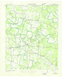
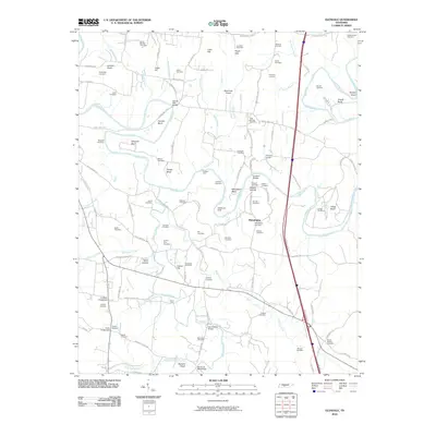
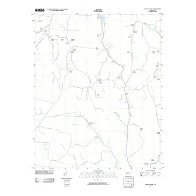
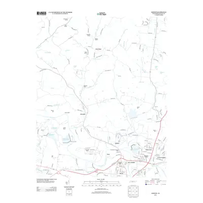
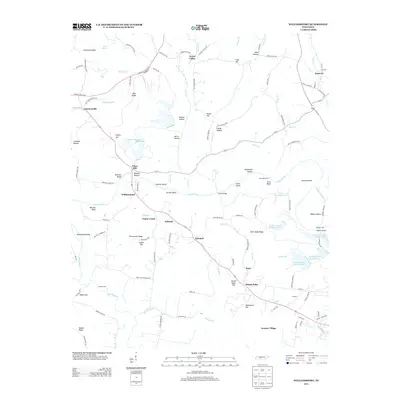
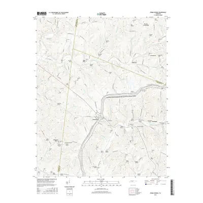
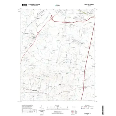
1940 Map of Godwin
USGS Topo · Published 1954About this map
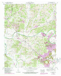
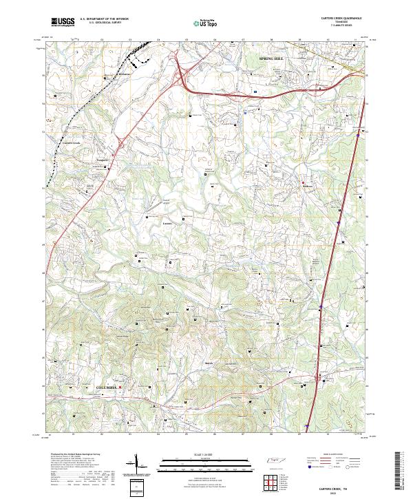
Duck River meanders through this portion of Maury County, defining a landscape shaped by sharp bends and deep hollows. In the 1940s, the region was characterized by small agricultural and industrial communities like Godwin and Natco, with the Louisville and Nashville railroad providing a vital corridor through the river valley. The map reveals a dense network of local landmarks, including family-named cemeteries such as Williams Cem and Vestal Cem, and spiritual centers like Knob Creek Ch and Godwin Chappell Ch. The industrial footprint of the era is evident at the Monsanto site near White Bend, while education centers like Santa Fe Sch and Beech Grove Sch served the rural population. Numerous hollows, such as Dark Hollow and Knob Hollow, illustrate the complex topography that constrained and directed early settlement patterns.
Find a feature on this map
67 named features on this map. Tap any name to fly to it.
Don’t see what you’re looking for? This feature index may not catch every label — zoom into the map to look around manually.
Map Details
Editions of this 1940 Godwin Map
This is the sole edition of this map. No revisions or reprints were ever made.
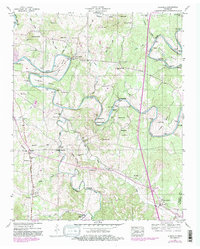
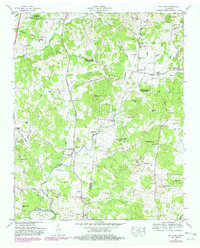
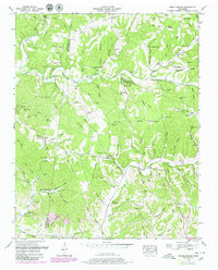
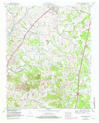
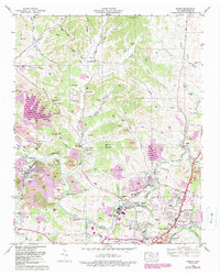
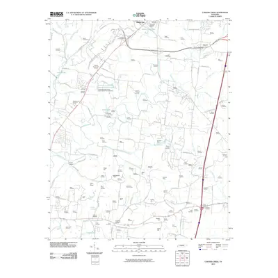
Historical Maps of Columbia Through Time
52 maps found

1936 Carters Creek
Maury County, TN
1936 Glendale
Maury County, TN

1936 Godwin
Maury County, TN

1936 Primm
Maury County, TN

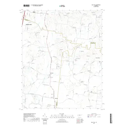
1936 Rally Hill
Maury County, TN

1936 Sandy Hook
Maury County, TN

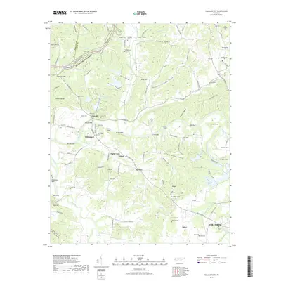
1936 Williamsport
Maury County, TN
1940 Godwin
Maury County, TN

1941 Carters Creek
Maury County, TN

1941 Godwin
Maury County, TN
1947 Glendale
Maury County, TN
1947 Rally Hill
Maury County, TN
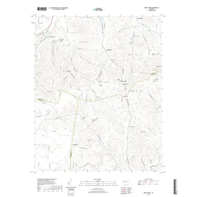
1951 Primm Springs
Maury County, TN

1951 Sandy Hook
Maury County, TN
1951 Williamsport
Maury County, TN
1965 Carters Creek
Maury County, TN
1965 Godwin
Maury County, TN
2010 Carters Creek
Maury County, TN
2010 Glendale
Maury County, TN
2010 Godwin
Maury County, TN
2010 Primm Springs
Maury County, TN
2010 Rally Hill
Maury County, TN
2010 Sandy Hook
Maury County, TN
2010 Williamsport
Maury County, TN
2013 Carters Creek
Maury County, TN
2013 Glendale
Maury County, TN
2013 Godwin
Maury County, TN
2013 Primm Springs
Maury County, TN
2013 Rally Hill
Maury County, TN
2013 Sandy Hook
Maury County, TN
2013 Williamsport
Maury County, TN
2016 Carters Creek
Maury County, TN
2016 Glendale
Maury County, TN
2016 Godwin
Maury County, TN
2016 Primm Springs
Maury County, TN
2016 Rally Hill
Maury County, TN
2016 Sandy Hook
Maury County, TN
2016 Williamsport
Maury County, TN
2019 Carters Creek
Maury County, TN
2019 Glendale
Maury County, TN
2019 Godwin
Maury County, TN
2019 Primm Springs
Maury County, TN
2019 Rally Hill
Maury County, TN
2019 Sandy Hook
Maury County, TN
2019 Williamsport
Maury County, TN
2022 Carters Creek
Maury County, TN
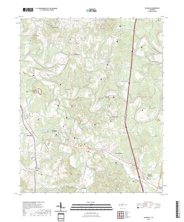
2022 Glendale
Maury County, TN
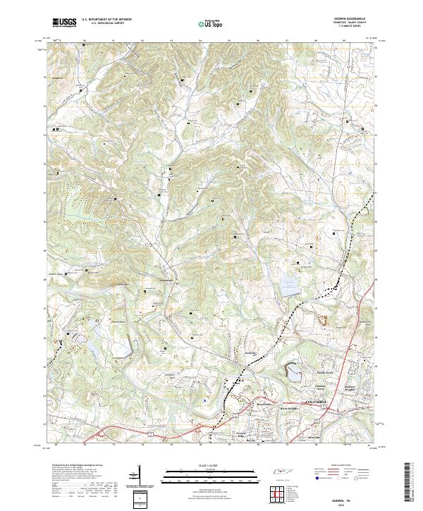
2022 Godwin
Maury County, TN
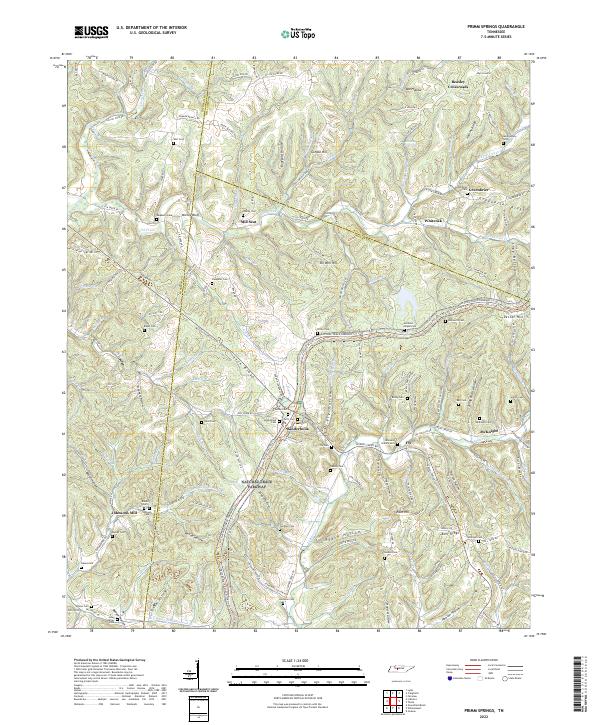
2022 Primm Springs
Maury County, TN
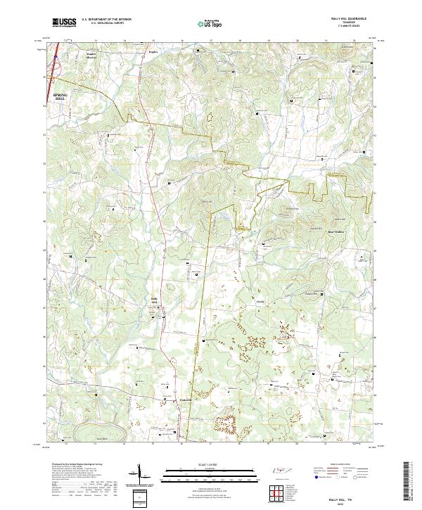
2022 Rally Hill
Maury County, TN
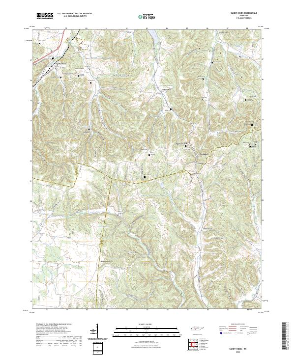
2022 Sandy Hook
Maury County, TN
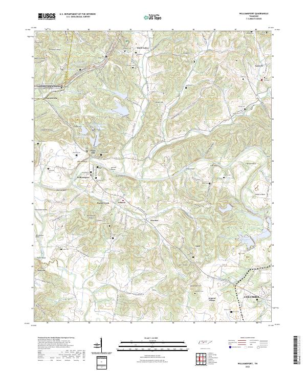
2022 Williamsport
Maury County, TN