
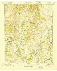
1936 Map of Spring Hill
USGS Topo · Published 1936About this map
The boundary between Williamson Co and Maury Co splits this mid-1930s survey, where the town of Spring Hill serves as a focal point for the region's infrastructure. Transportation and utilities define the landscape, notably the Louisville and Nashville RR and the Nashville and Jackson Highway intersecting near the town center. The electrical grid of the era is prominently marked by the Tennessee Electric Power Company Trans Line and a dedicated substation near Carters Creek.
Find a feature on this map
30 named features on this map. Tap any name to fly to it.
Don’t see what you’re looking for? This feature index may not catch every label — zoom into the map to look around manually.
Map Details
Editions of this 1936 Spring Hill Map
This is the sole edition of this map. No revisions or reprints were ever made.
Other maps of this area

1901 · Colombia
USGS Topo · 1:125,000

1909 · Franklin
USGS Topo · 1:62,500

1936 · Godwin
USGS Topo · 1:24,000

1936 · Rally Hill
USGS Topo · 1:24,000

1936 · Theta
USGS Topo · 1:24,000

1936 · Carters Creek
USGS Topo · 1:24,000

1936 · Bethesda
USGS Topo · 1:24,000

1940 · Godwin
USGS Topo · 1:24,000
1941 · Godwin
USGS Topo · 1:24,000

1941 · Carters Creek
USGS Topo · 1:24,000
Featured Places
- Franklin, TN
- Spring Hill, TN
- Thompson's Station, TN
- Sycamore, TN
- Country Haven Estates, Thompson's Station