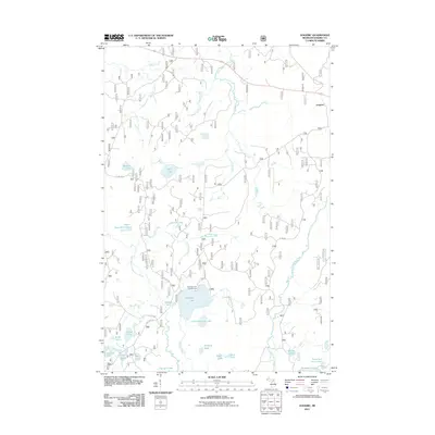
2011 Map of Gogebic
USGS Topo · Published 2011About this map
Pomeroy Lake and its surrounding water network anchor this part of the Michigan Northwoods in the early 21st century. The landscape is defined by a dense concentration of glacial lakes and interlocking drainages, including the East Branch Presque Isle River and the winding Slate River. This area, within the Ottawa National Forest, remains largely undeveloped, characterized by seasonal recreation sites like the Pomeroy Lake Campground and a network of Forest Service roads such as FS RD 7300. The small settlement of Gogebic sits on the eastern edge of the quadrangle along the historic Stage Coach Rd, reflecting a quiet history of forest management and outdoor access. Further south, unique identifiers like Job Corps Rd and a cluster of family-named water bodies including Holly Lake, Monk Lake, and Morris Lake offer specific points of interest for local geography and genealogy.
Find a feature on this map
40 named features on this map. Tap any name to fly to it.
Don’t see what you’re looking for? This feature index may not catch every label — zoom into the map to look around manually.
Map Details
Editions of this 2011 Gogebic Map
This is the sole edition of this map. No revisions or reprints were ever made.
Other maps of this area

1939 · Trout Lake
USGS Topo · 1:48,000

1946 · Star Lake
USGS Topo · 1:48,000

1946 · Trout Lake
USGS Topo · 1:48,000

1949 · Trout Lake
USGS Topo · 1:48,000

1950 · Star Lake
USGS Topo · 1:48,000

1952 · Thayer
USGS Topo · 1:62,500

1955 · Marenisco
USGS Topo · 1:62,500

1955 · Starlake
USGS Topo · 1:62,500

1955 · Boulder Junction
USGS Topo · 1:62,500

1955 · Marenisco
USGS Topo · 1:24,000