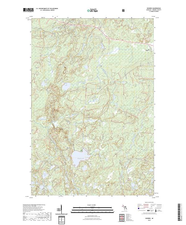
2023 Map of Gogebic
USGS Topo · Published 2023About this map
The Ottawa National Forest dominates this northern Michigan landscape, where the waters of the Presque Isle Wild and Scenic River and the Pelton River carve through a densely forested interior. The small settlement of Gogebic sits near the crossing of Old US Hwy 2 and Stage Coach Rd, marking a junction of historical travel routes. This survey highlights an intricate network of forest service trails, such as Nfst-7150 Trl and Nfst-7342 Trl, which provide access to a high density of named water bodies. From the large expanse of Pomeroy Lake to the secluded Saint Augustine Lake and Peter and Paul Lakes, the geography is defined by its post-glacial hydrology. The presence of numerous named drainages like Bluebill Creek and Slate River indicates a complex drainage system that supported the region's logging history and ongoing conservation efforts.
Find a feature on this map
77 named features on this map. Tap any name to fly to it.
Don’t see what you’re looking for? This feature index may not catch every label — zoom into the map to look around manually.
Map Details
Editions of this 2023 Gogebic Map
This is the sole edition of this map. No revisions or reprints were ever made.
Other maps of this area

1939 · Trout Lake
USGS Topo · 1:48,000

1946 · Star Lake
USGS Topo · 1:48,000

1946 · Trout Lake
USGS Topo · 1:48,000

1949 · Trout Lake
USGS Topo · 1:48,000

1950 · Star Lake
USGS Topo · 1:48,000

1952 · Thayer
USGS Topo · 1:62,500

1955 · Marenisco
USGS Topo · 1:62,500

1955 · Starlake
USGS Topo · 1:62,500

1955 · Boulder Junction
USGS Topo · 1:62,500

1955 · Marenisco
USGS Topo · 1:24,000