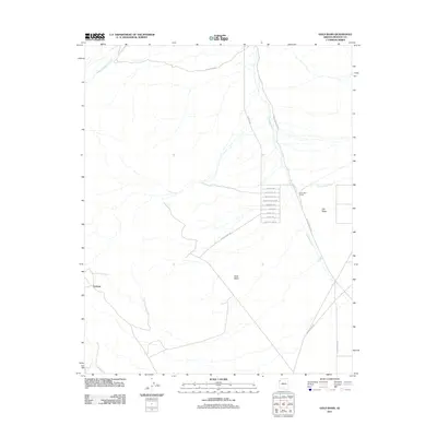
2011 Map of Gold Basin
USGS Topo · Published 2011About this map
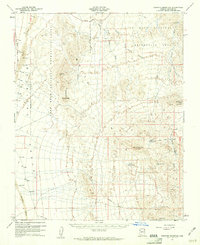
Cyclopic and the surrounding desert landscape of Mohave County are defined by a complex network of ephemeral drainage systems and remote road corridors in the early 21st century. The map area is dominated by the wide basins of Hualapai Wash, White Elephant Wash, and Fox Canyon Wash, which dictate the local topography and the placement of early ranching and mining-related settlements. Small, isolated locales like Old Basin and the Burnt Mill Ranch sit near these washes, connected by a lattice of named routes such as Gregg's Hideout Rd and God's Pocket Rd.
Find a feature on this map
22 named features on this map. Tap any name to fly to it.
Don’t see what you’re looking for? This feature index may not catch every label — zoom into the map to look around manually.
Map Details
Editions of this 2011 Gold Basin Map
This is the sole edition of this map. No revisions or reprints were ever made.
Other maps of this area
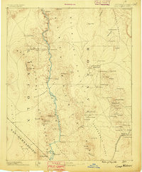
1886 · Camp Mohave
USGS Topo · 1:250,000
1892 · Camp Mohave
USGS Topo · 1:250,000
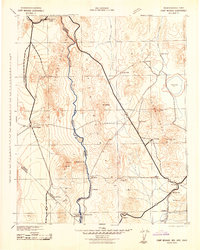
1942 · Camp Mohave
USGS Topo · 1:250,000

1947 · Kingman
USGS Topo · 1:250,000

1948 · Kingman
USGS Topo · 1:250,000
1954 · Kingman
USGS Topo · 1:250,000
1955 · Kingman
USGS Topo · 1:250,000
1958 · Kingman
USGS Topo · 1:250,000
1960 · Kingman
USGS Topo · 1:250,000
1960 · Senator Mountain
USGS Topo · 1:62,500