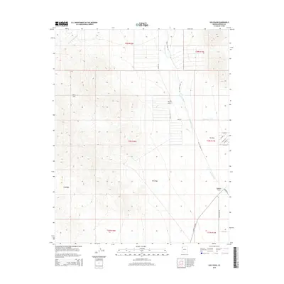
2014 Map of Gold Basin
USGS Topo · Published 2014About this map
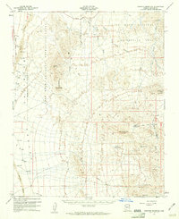
Cyclopic and Gold Basin lie within a high-desert landscape defined by the drainage systems of the White Hills in northern Arizona. This 2014 survey captures a region of sparse settlement where the Mojave Desert meets the Hualapai Valley. The map detail shows how seasonal watercourses like White Elephant Wash and Hualapai Wash dictate the local geography, with roads often following these natural corridors. Modern infrastructure is concentrated around Old Basin, where a small grid of streets including W Aspen St and W Maple has emerged. Local transit is largely dependent on regional routes such as Gregg's Hideout Rd and N Pierce Ferry Rd, reflecting the area's continued role as a gateway between the desert highlands and the valley floor.
Find a feature on this map
27 named features on this map. Tap any name to fly to it.
Don’t see what you’re looking for? This feature index may not catch every label — zoom into the map to look around manually.
Map Details
Editions of this 2014 Gold Basin Map
This is the sole edition of this map. No revisions or reprints were ever made.
Other maps of this area
1886 · Camp Mohave
USGS Topo · 1:250,000
1892 · Camp Mohave
USGS Topo · 1:250,000
1942 · Camp Mohave
USGS Topo · 1:250,000

1947 · Kingman
USGS Topo · 1:250,000

1948 · Kingman
USGS Topo · 1:250,000
1954 · Kingman
USGS Topo · 1:250,000
1955 · Kingman
USGS Topo · 1:250,000
1958 · Kingman
USGS Topo · 1:250,000
1960 · Kingman
USGS Topo · 1:250,000
1960 · Senator Mountain
USGS Topo · 1:62,500