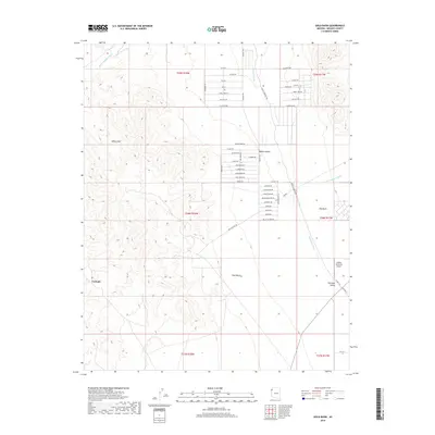
2018 Map of Gold Basin
USGS Topo · Published 2018About this map
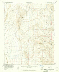
White Hills and the Mojave Desert characterize this high-desert landscape in northern Arizona. The area around Cyclopic and Gold Basin is marked by a complex network of ephemeral drainages, including White Elephant Wash, Hualapai Wash, and Fox Canyon Wash, which carve through the arid terrain toward the Hualapai Valley. The settlement pattern is defined by an extensive grid of named residential tracks in the northern and central sections, with evocative street names like Valley of Fire Dr, Gold Cross Dr, and Adventurers Dr. This development is juxtaposed against the vast open spaces of the Old Basin. Transportation in the region relies on CO Hwy 139, which provides access to the Aileron Orchards Airport located near the eastern boundary.
Find a feature on this map
50 named features on this map. Tap any name to fly to it.
Don’t see what you’re looking for? This feature index may not catch every label — zoom into the map to look around manually.
Map Details
Editions of this 2018 Gold Basin Map
This is the sole edition of this map. No revisions or reprints were ever made.
Other maps of this area
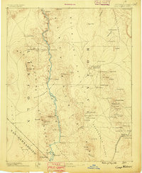
1886 · Camp Mohave
USGS Topo · 1:250,000
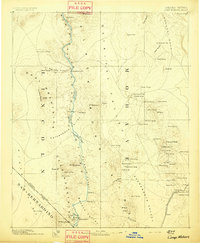
1892 · Camp Mohave
USGS Topo · 1:250,000
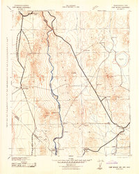
1942 · Camp Mohave
USGS Topo · 1:250,000

1947 · Kingman
USGS Topo · 1:250,000

1948 · Kingman
USGS Topo · 1:250,000
1954 · Kingman
USGS Topo · 1:250,000
1955 · Kingman
USGS Topo · 1:250,000
1958 · Kingman
USGS Topo · 1:250,000
1960 · Kingman
USGS Topo · 1:250,000
1960 · Senator Mountain
USGS Topo · 1:62,500