Loading...
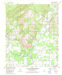
Loading map...1982 Map of Golden
USGS Topo · Published 1983About this map
The confluence of the Glover River and the Little River defines this McCurtain County landscape in the early 1980s. The region is characterized by its winding waterways and distinct river bends, including Schuler Bend and Thompson Bend. In the west, Wright City serves as a primary settlement hub, supported by the Texas Oklahoma and Eastern railroad which cuts across the central timberland and swampy basins like Pine Slough Lake.
Find a feature on this map
42 named features on this map. Tap any name to fly to it.
Don’t see what you’re looking for? This feature index may not catch every label — zoom into the map to look around manually.
Map Details
Date Portrayed1982
Date Published1983
PublisherU.S. Geological Survey
Map TypeTopographic
Scale1:24000
Physical Dimensions22.5 x 27.3 inches
Editions of this 1982 Golden Map
This is the sole edition of this map. No revisions or reprints were ever made.
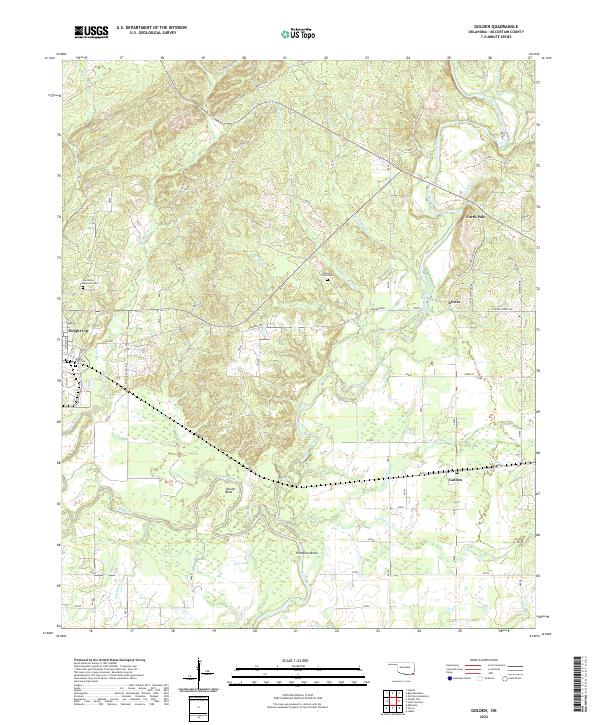
Historical Maps of Wright City Through Time
3 maps found
Featured Locations
Source Details
SourceU.S. Geological Survey
CopyrightPublic Domain