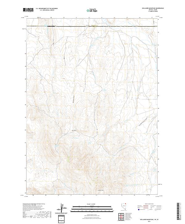
2021 Map of Gollaher Mountain
USGS Topo · Published 2021About this map
Gollaher Mtn rises as the central landmark in this high-desert landscape situated along the border of Elko County, Nevada, and Twin Falls County, Idaho. The terrain is defined by a series of north-draining watercourses such as Horse Cr, Indian-Mike Cr, and Bottom Cr, which carve through the ridges and draws. Life in this arid environment centers on numerous named water sources, including Indian Mike Spring, Johnson Spring, and the high-elevation Upper Chimney Spring. The mapping of these specific water points, alongside features like Manila Spring and Chokecherry Spring, underscores their vital importance for livestock and wildlife management in the Great Basin. Large drainage features like West Basin Draw and Gollaher Springs Draw illustrate the complex watershed that flows toward the Idaho line near State Line Springs.
Find a feature on this map
31 named features on this map. Tap any name to fly to it.
Don’t see what you’re looking for? This feature index may not catch every label — zoom into the map to look around manually.
Map Details
Editions of this 2021 Gollaher Mountain Map
This is the sole edition of this map. No revisions or reprints were ever made.
Other maps of this area

1955 · Twin Falls
USGS Topo · 1:250,000

1955 · Wells
USGS Topo · 1:250,000

1957 · Delaplain
USGS Topo · 1:62,500

1958 · Wells
USGS Topo · 1:250,000

1958 · Twin Falls
USGS Topo · 1:250,000

1961 · Wells
USGS Topo · 1:250,000

1961 · Gollaher Mountain
USGS Topo · 1:62,500

1977 · Timber Butte
USGS Topo · 1:24,000

1977 · Big Creek Ranch
USGS Topo · 1:24,000

1977 · Magic Hot Springs
USGS Topo · 1:24,000