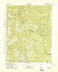
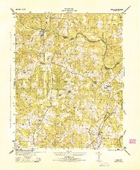
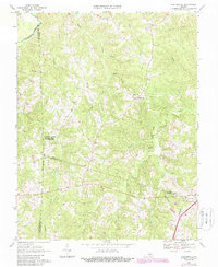
1943 Map of Goodes Bridge
USGS Topo · Published 1943About this map
The Appomattox River winds through the heart of the Virginia countryside, serving as the natural boundary between Amelia County and Chesterfield County. This 1943 survey, conducted by the Soil Conservation Service for the War Department, reveals a landscape of wooded preserves and small rural hubs during the mid-century era. The settlement of Mannboro stands as a focal point in the south, supported by community institutions like Mannboro School, Oak Grove School, and Oak Grove Church.
Find a feature on this map
26 named features on this map. Tap any name to fly to it.
Don’t see what you’re looking for? This feature index may not catch every label — zoom into the map to look around manually.
Map Details
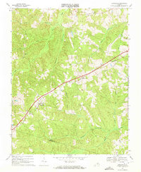
Editions of this 1943 Goodes Bridge Map
2 editions found
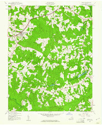
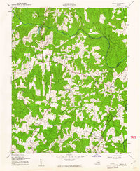
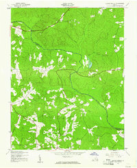
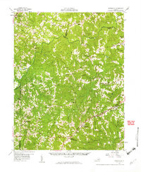
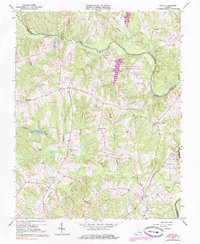
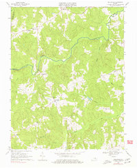
Historical Maps of Bevils Bridge Through Time
15 maps found
1943 Amelia
Amelia County, VA
1943 Chula
Amelia County, VA
1943 Goodes Bridge
Amelia County, VA
1944 Chula
Amelia County, VA
1958 Jetersville
Amelia County, VA

1964 Mannboro
Amelia County, VA
1966 Chula
Amelia County, VA
1968 Ballsville
Amelia County, VA
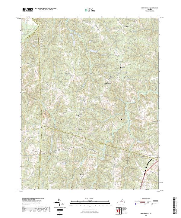
1968 Deatonville
Amelia County, VA
1968 Jetersville
Amelia County, VA
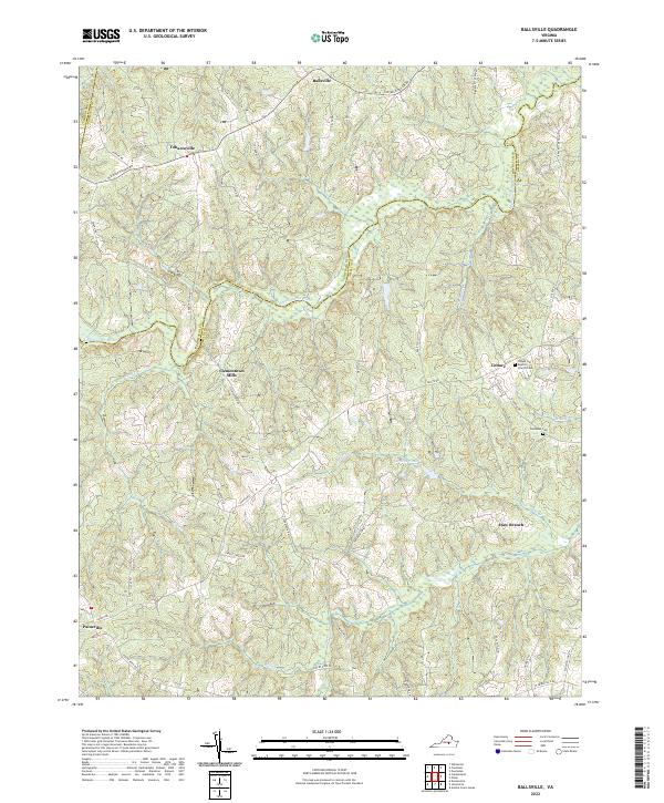
2022 Ballsville
Amelia County, VA
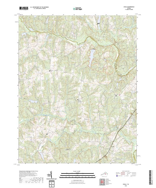
2022 Chula
Amelia County, VA
2022 Deatonville
Amelia County, VA
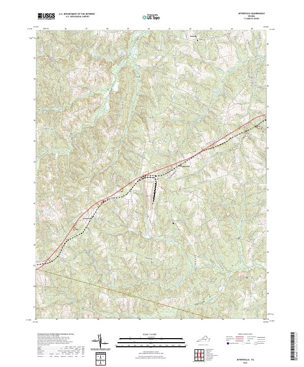
2022 Jetersville
Amelia County, VA
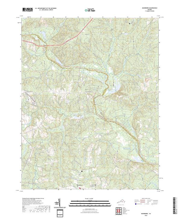
2022 Mannboro
Amelia County, VA