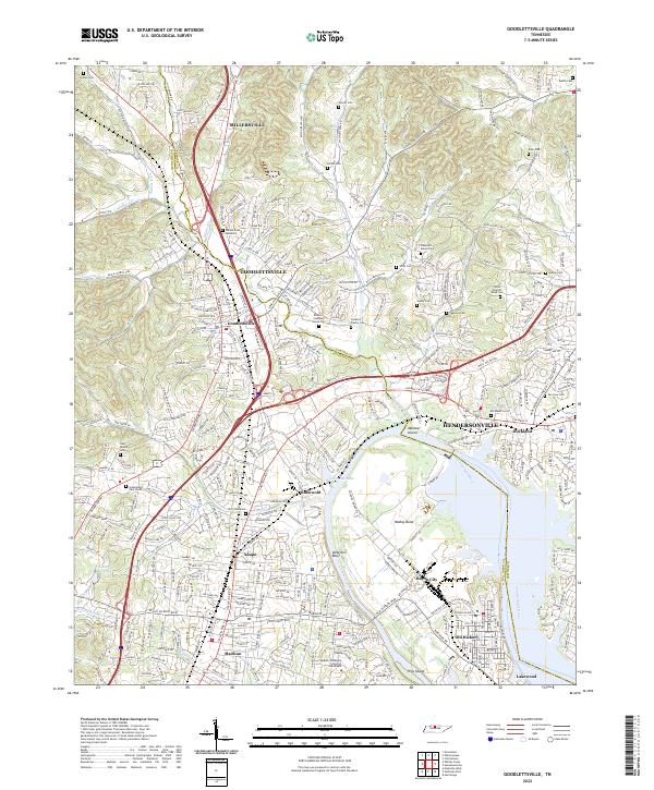
2022 Map of Goodlettsville
USGS Topo · Published 2022About this map
Goodlettsville and its surrounding communities in both Sumner and Davidson counties occupy a landscape deeply shaped by the Cumberland River and its numerous tributaries. Modern residential development is juxtaposed with significant historical sites, such as the Bowen Campbell House Cem and the Jackson Family Cem, preserving the lineage of early area settlers. The map details the transition from the upland ridges of Anderson Bluff down to the river bottoms where the Hadley Bend meanders around Mansker Island.
Find a feature on this map
347 named features on this map. Tap any name to fly to it.
Don’t see what you’re looking for? This feature index may not catch every label — zoom into the map to look around manually.
Map Details
Editions of this 2022 Goodlettsville Map
This is the sole edition of this map. No revisions or reprints were ever made.
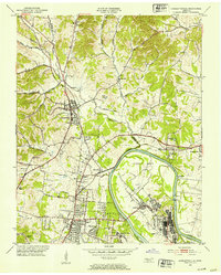
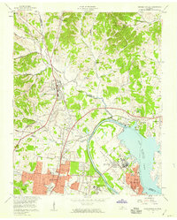
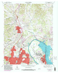
Historical Maps of Nashville Through Time
4 maps found