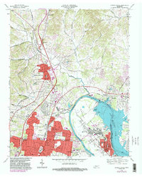
1968 Map of Goodlettsville
USGS Topo · Published 1983About this map
Goodlettsville and the surrounding suburban expansion of north Sumner County and Nashville-Davidson County are captured here during a period of significant growth. The map illustrates the densifying residential networks of Madison and Edenwold, where newly charted streets like Apple Valley Rd and Gibson Drive contrast with the older rural routes such as Brick Church Pike and Long Hollow Pike. The northern landscape transitions into the Red Hills, drained by Mansker Creek and Slaters Creek.
Find a feature on this map
105 named features on this map. Tap any name to fly to it.
Don’t see what you’re looking for? This feature index may not catch every label — zoom into the map to look around manually.
Map Details
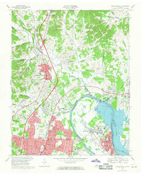
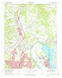
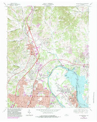
Editions of this 1968 Goodlettsville Map
4 editions found
Other maps of this area

1903 · Nashville
USGS Topo · 1:125,000

1931 · Ridgetop
USGS Topo · 1:62,500

1932 · Hermitage
USGS Topo · 1:62,500

1932 · Nashville
USGS Topo · 1:62,500

1935 · Ridgetop
USGS Topo · 1:62,500

1942 · Gallatin
USGS Topo · 1:100,000

1942 · Lebanon
USGS Topo · 1:100,000

1952 · Goodlettsville
USGS Topo · 1:24,000

1952 · Hendersonville
USGS Topo · 1:24,000

1952 · Hermitage
USGS Topo · 1:24,000