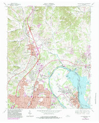
1968 Map of Goodlettsville
USGS Topo · Published 1983About this map
The Cumberland River and Old Hickory Lake anchor this 1968 survey of the northern Nashville suburbs, illustrating the mid-century expansion of Goodlettsville, Madison, and Old Hickory. The landscape is a mix of established community hubs and infrastructure projects, including the prominent Old Hickory Dam and the industrial activity around Rayon City. Transportation corridors like the Seaboard System Railroad and Dickerson Road shape the residential growth patterns visible in the rising density of neighborhoods near Amqui and Edenwold.
Find a feature on this map
78 named features on this map. Tap any name to fly to it.
Don’t see what you’re looking for? This feature index may not catch every label — zoom into the map to look around manually.
Map Details
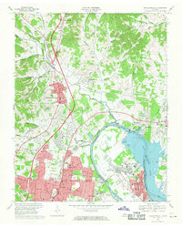
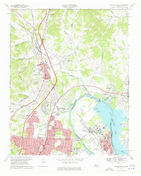
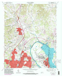
Editions of this 1968 Goodlettsville Map
4 editions found
Other maps of this area

1903 · Nashville
USGS Topo · 1:125,000

1931 · Ridgetop
USGS Topo · 1:62,500

1932 · Hermitage
USGS Topo · 1:62,500

1932 · Nashville
USGS Topo · 1:62,500

1935 · Ridgetop
USGS Topo · 1:62,500

1942 · Gallatin
USGS Topo · 1:100,000

1942 · Lebanon
USGS Topo · 1:100,000

1952 · Goodlettsville
USGS Topo · 1:24,000

1952 · Hendersonville
USGS Topo · 1:24,000

1952 · Hermitage
USGS Topo · 1:24,000