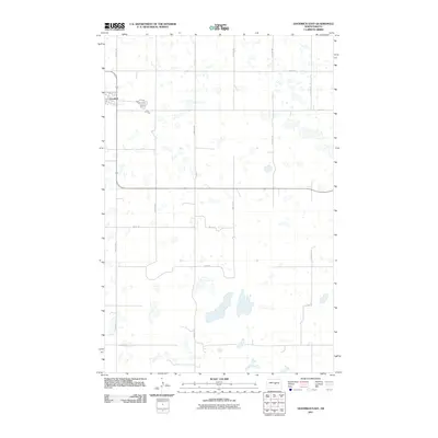
2011 Map of Goodrich East
USGS Topo · Published 2011About this map
Goodrich occupies the northwestern corner of this Sheridan County landscape, where the town plat meets a wide network of section-line roads and prairie potholes. The grid of the settlement is defined by local thoroughfares such as Clark Ave and Frank St, providing a clear view of the village's footprint at the start of the 2010s. Outside the immediate town center, the terrain is characterized by numerous small, unnamed water bodies and seasonal wetlands that dictate the placement of rural routes. These country roads, including 20th Ave NE and 25th Ave NE, form the primary infrastructure for the surrounding agricultural tracts. The map illustrates how local geography and early 21st-century road planning, such as the path of Main St and 2nd St SE, have adapted to the natural drainage patterns and glacial depressions common to this part of the North Dakota plains.
Find a feature on this map
16 named features on this map. Tap any name to fly to it.
Don’t see what you’re looking for? This feature index may not catch every label — zoom into the map to look around manually.
Map Details
Editions of this 2011 Goodrich East Map
This is the sole edition of this map. No revisions or reprints were ever made.
Other maps of this area

1945 · Manfred
USGS Topo · 1:62,500

1946 · Sheyenne Lake
USGS Topo · 1:48,000

1947 · Sheyenne Lake
USGS Topo · 1:62,500

1948 · Manfred
USGS Topo · 1:62,500

1949 · Manfred SW
USGS Topo · 1:24,000

1950 · Manfred SW
USGS Topo · 1:24,000

1952 · New Rockford
USGS Topo · 1:250,000

1954 · McClusky
USGS Topo · 1:250,000

1956 · New Rockford
USGS Topo · 1:250,000

1958 · McClusky
USGS Topo · 1:250,000