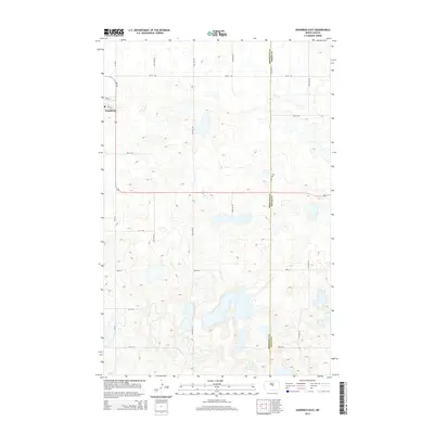
2014 Map of Goodrich East
USGS Topo · Published 2014About this map
The small community of Goodrich serves as the focal point for this survey of the North Dakota prairie. Located in the northwest corner of the map, the town is oriented along the Frank St and 2nd St E corridors, just north of the major east-west artery Nd-200. The landscape is defined by the countless unnamed prairie potholes and small water bodies that dot the terrain, illustrating the glacial topography of the region.
Find a feature on this map
21 named features on this map. Tap any name to fly to it.
Don’t see what you’re looking for? This feature index may not catch every label — zoom into the map to look around manually.
Map Details
Editions of this 2014 Goodrich East Map
This is the sole edition of this map. No revisions or reprints were ever made.
Other maps of this area
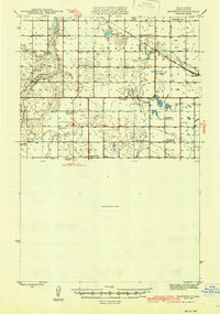
1945 · Manfred
USGS Topo · 1:62,500
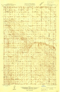
1946 · Sheyenne Lake
USGS Topo · 1:48,000
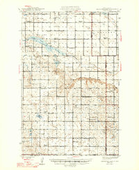
1947 · Sheyenne Lake
USGS Topo · 1:62,500
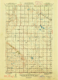
1948 · Manfred
USGS Topo · 1:62,500
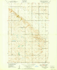
1949 · Manfred SW
USGS Topo · 1:24,000
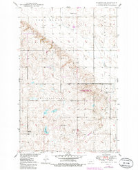
1950 · Manfred SW
USGS Topo · 1:24,000
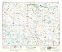
1952 · New Rockford
USGS Topo · 1:250,000
1954 · McClusky
USGS Topo · 1:250,000
1956 · New Rockford
USGS Topo · 1:250,000
1958 · McClusky
USGS Topo · 1:250,000