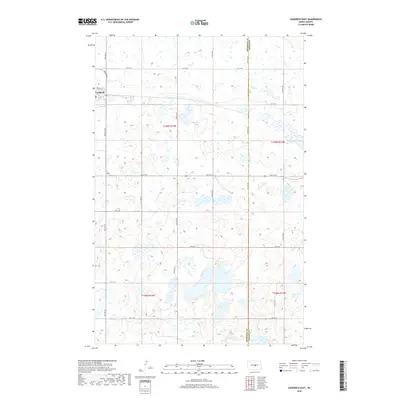
2018 Map of Goodrich East
USGS Topo · Published 2018About this map
Goodrich sits at the northwestern edge of this prairie landscape, where the town grid transitions into a vast expanse of wetland basins and small lakes. The geography is defined by the high density of these closed-basin depressions, typical of the Missouri Coteau region, which create a complex mosaic of water and land across Sheridan Co and Wells Co. The map documents a meticulously surveyed section-line road network, including Main St E and 5th St NE, which guides the traveler through a terrain where the prairie pothole ecosystem remains a dominant physical force. This 2018 survey reveals how modern infrastructure, such as Frank St, navigates around these natural water features, illustrating the enduring relationship between the small agricultural community and its glaciated environment.
Find a feature on this map
15 named features on this map. Tap any name to fly to it.
Don’t see what you’re looking for? This feature index may not catch every label — zoom into the map to look around manually.
Map Details
Editions of this 2018 Goodrich East Map
This is the sole edition of this map. No revisions or reprints were ever made.
Other maps of this area
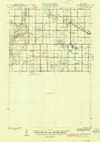
1945 · Manfred
USGS Topo · 1:62,500
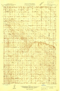
1946 · Sheyenne Lake
USGS Topo · 1:48,000
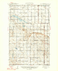
1947 · Sheyenne Lake
USGS Topo · 1:62,500
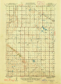
1948 · Manfred
USGS Topo · 1:62,500
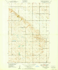
1949 · Manfred SW
USGS Topo · 1:24,000
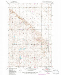
1950 · Manfred SW
USGS Topo · 1:24,000
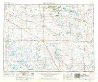
1952 · New Rockford
USGS Topo · 1:250,000
1954 · McClusky
USGS Topo · 1:250,000
1956 · New Rockford
USGS Topo · 1:250,000
1958 · McClusky
USGS Topo · 1:250,000