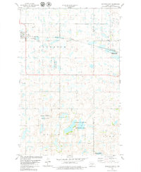
1978 Map of Goodrich East
USGS Topo · Published 1979About this map
Goodrich serves as the primary hub for this Sheridan County landscape, anchored by the Burlington Northern railroad line that bisects the northern sections of the map. The terrain is defined by a dense network of prairie potholes and wetlands, many of which are preserved within the National Waterfowl Production Area. These protected zones are scattered across the townships of Goodrich, Mauch, and Lynn, reflecting a landscape dedicated to conservation and migratory bird habitat in the late 1970s.
Find a feature on this map
12 named features on this map. Tap any name to fly to it.
Don’t see what you’re looking for? This feature index may not catch every label — zoom into the map to look around manually.
Map Details
Editions of this 1978 Goodrich East Map
This is the sole edition of this map. No revisions or reprints were ever made.
Other maps of this area

1945 · Manfred
USGS Topo · 1:62,500

1946 · Sheyenne Lake
USGS Topo · 1:48,000

1947 · Sheyenne Lake
USGS Topo · 1:62,500

1948 · Manfred
USGS Topo · 1:62,500

1949 · Manfred SW
USGS Topo · 1:24,000

1950 · Manfred SW
USGS Topo · 1:24,000

1952 · New Rockford
USGS Topo · 1:250,000

1954 · McClusky
USGS Topo · 1:250,000

1956 · New Rockford
USGS Topo · 1:250,000

1958 · McClusky
USGS Topo · 1:250,000