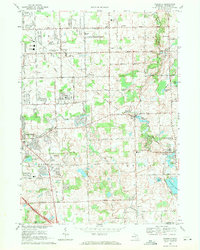
1969 Map of Goodrich
USGS Topo · Published 1971About this map
Kearsley Creek and Thread Creek define the landscape of southeastern Genesee County in this late 1960s survey. The map documents the distinct identities of Grand Blanc, Goodrich, and Atlas before significant suburban expansion. The era's local economy is visible through numerous Gravel Pits, while the Grand Trunk Western Railroad bisects the western half of the sheet. Genealogical researchers will find value in the specific locations of rural burying grounds such as Horton Cem and Pine Grove Cem, as well as neighborhood institutions like the Wheelock Memorial Hospital and various district schools including Wolcott Sch and Metzger Sch. The geography is further marked by legacy waterworks like the Atlas Millpond and Goodrich Millpond, which represent the early milling history of these settlements along the creek banks.
Find a feature on this map
73 named features on this map. Tap any name to fly to it.
Don’t see what you’re looking for? This feature index may not catch every label — zoom into the map to look around manually.
Map Details
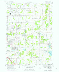
Editions of this 1969 Goodrich Map
2 editions found
Other maps of this area

1920 · Flint
USGS Topo · 1:62,500

1920 · Holly
USGS Topo · 1:62,500

1922 · Holly
USGS Topo · 1:62,500

1922 · Flint
USGS Topo · 1:62,500

1943 · Holly
USGS Topo · 1:62,500

1943 · Flint
USGS Topo · 1:62,500

1943 · Ortonville
USGS Topo · 1:24,000
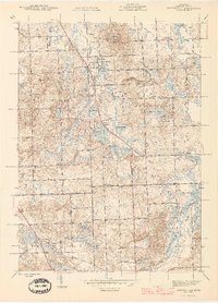
1945 · Ortonville
USGS Topo · 1:24,000

1945 · Hadley
USGS Topo · 1:24,000
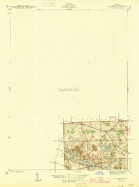
1945 · Davisburg
USGS Topo · 1:24,000