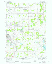
1969 Map of Goodrich
USGS Topo · Published 1976About this map
The agrarian and early suburban development of Genesee County is captured here during the late 1960s, a period when the agricultural character of Atlas and Goodrich began to blend with burgeoning recreation and residential expansion. The landscape is defined by the flow of Kearsley Creek and Thread Creek, with historical industry represented by the Atlas Millpond and Goodrich Millpond. For genealogists, the map is a dense record of community life, locating numerous family-associated sites such as McFarland Cem, Oakwood Cem, and several local schools like the Metzger Sch and Cook Sch.
Find a feature on this map
66 named features on this map. Tap any name to fly to it.
Don’t see what you’re looking for? This feature index may not catch every label — zoom into the map to look around manually.
Map Details
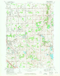
Editions of this 1969 Goodrich Map
2 editions found
Other maps of this area

1920 · Flint
USGS Topo · 1:62,500

1920 · Holly
USGS Topo · 1:62,500

1922 · Holly
USGS Topo · 1:62,500

1922 · Flint
USGS Topo · 1:62,500

1943 · Holly
USGS Topo · 1:62,500

1943 · Flint
USGS Topo · 1:62,500

1943 · Ortonville
USGS Topo · 1:24,000
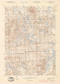
1945 · Ortonville
USGS Topo · 1:24,000

1945 · Hadley
USGS Topo · 1:24,000
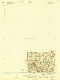
1945 · Davisburg
USGS Topo · 1:24,000