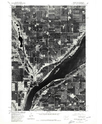
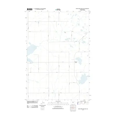
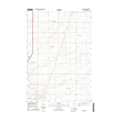
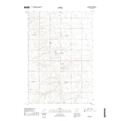
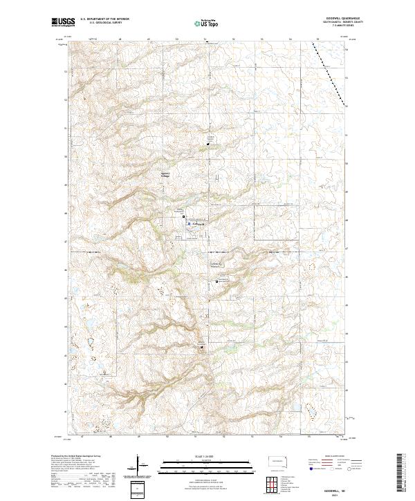
1970 Map of Goodwill
USGS Topo · Published 1973About this map
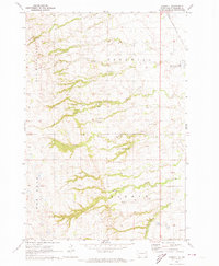
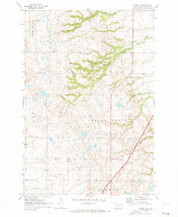
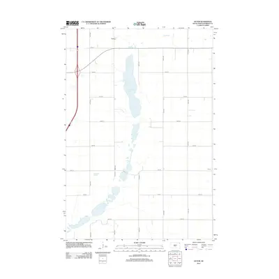
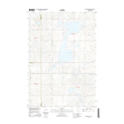
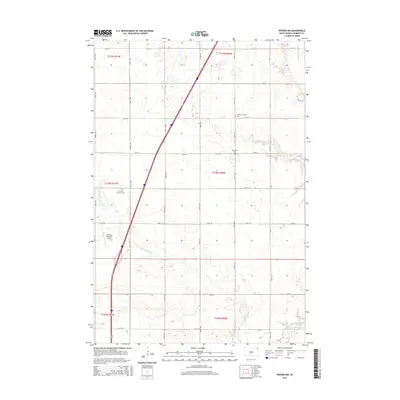
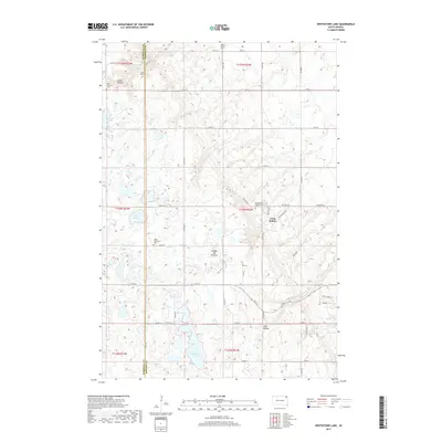
Old Sisseton Indian Agency stands as a central historical landmark within the Sisseton Indian Reservation during this 1970 survey of Roberts County. The landscape is defined by the sharp transition between the upland plains and the coulees that drop toward the valley floor, where Goodwill Creek and Agency Creek carve through the terrain. The small community of Goodwill is the primary settlement, supported by the Goodwill Ch and Goodwill Cem.
Find a feature on this map
22 named features on this map. Tap any name to fly to it.
Don’t see what you’re looking for? This feature index may not catch every label — zoom into the map to look around manually.
Map Details
Editions of this 1970 Goodwill Map
This is the sole edition of this map. No revisions or reprints were ever made.
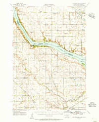
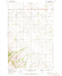
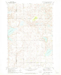
Historical Maps of Goodwill Through Time
53 maps found
1954 Big Stone Lake
Roberts County, SD
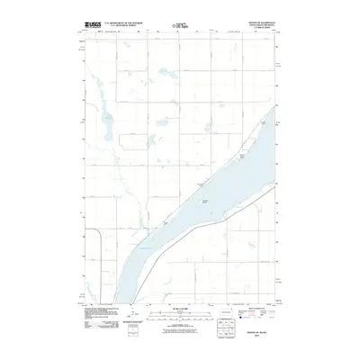
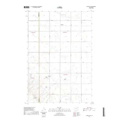
1964 Claire City SW
Roberts County, SD

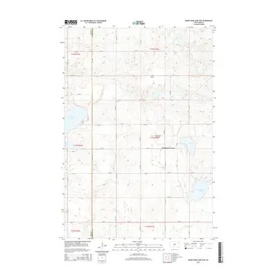
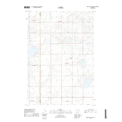
1970 Drywood Lakes
Roberts County, SD
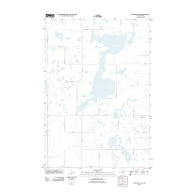
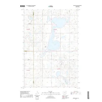
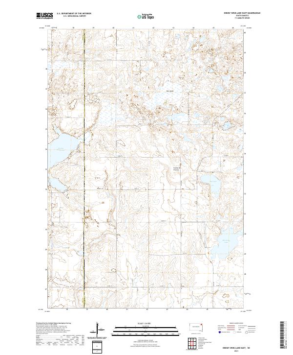
1970 Enemy Swim Lake East
Roberts County, SD
1970 Goodwill
Roberts County, SD
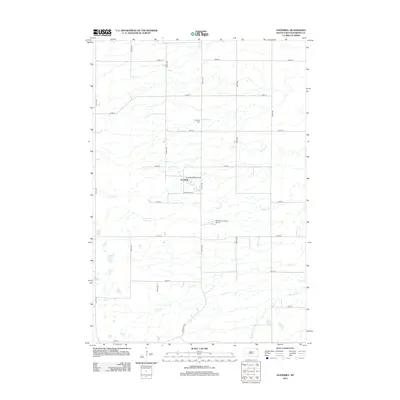
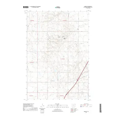
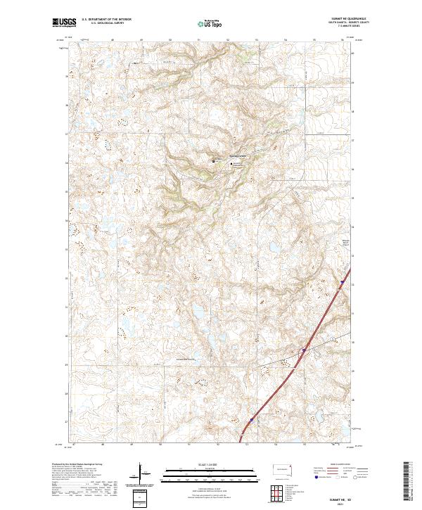
1970 Summit NE
Roberts County, SD

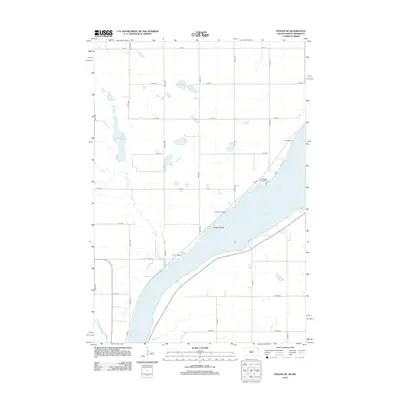
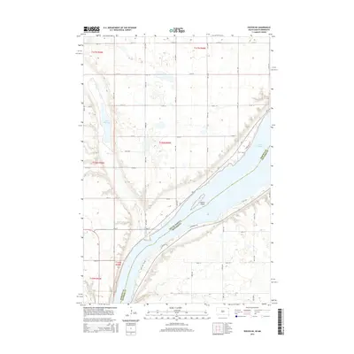
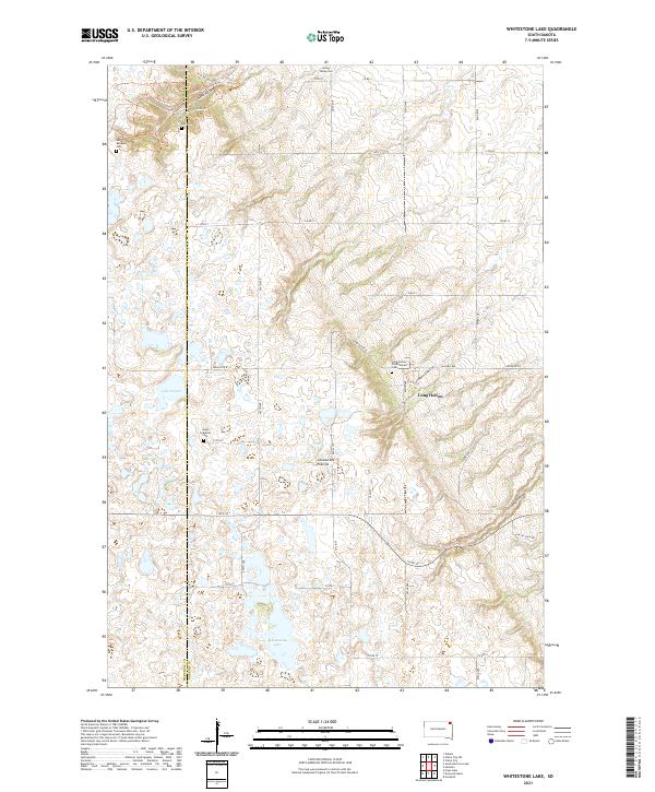
1970 Whitestone Lake
Roberts County, SD

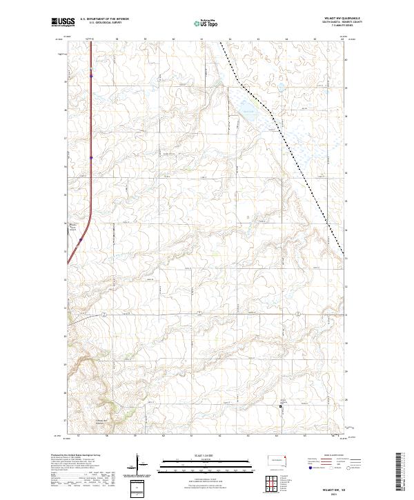
1970 Wilmot NW
Roberts County, SD
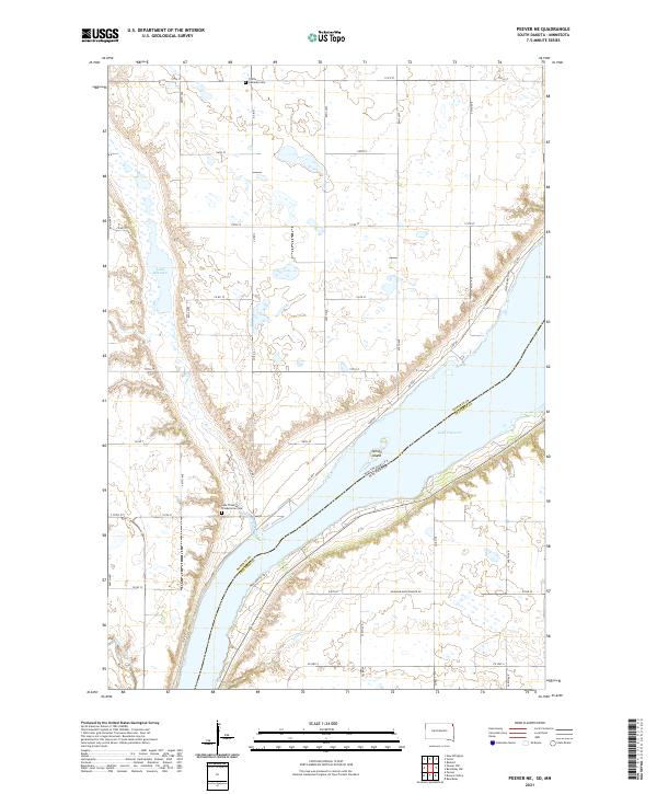
1971 Peever NE
Roberts County, SD
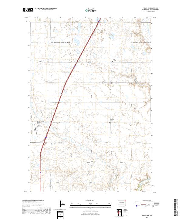
1971 Peever NW
Roberts County, SD
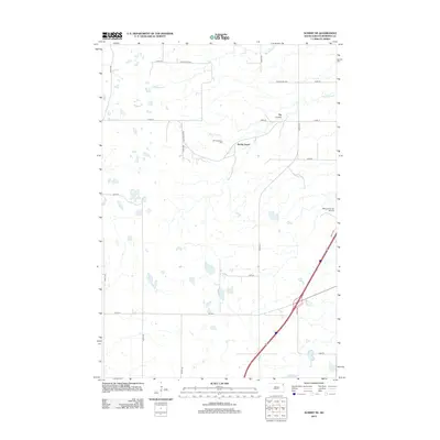
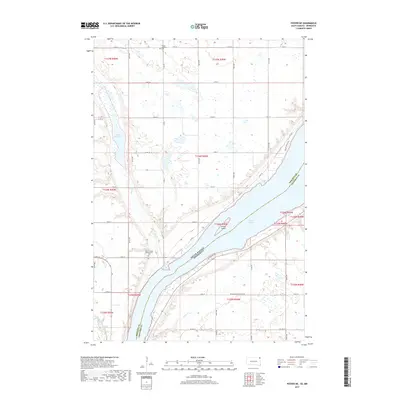
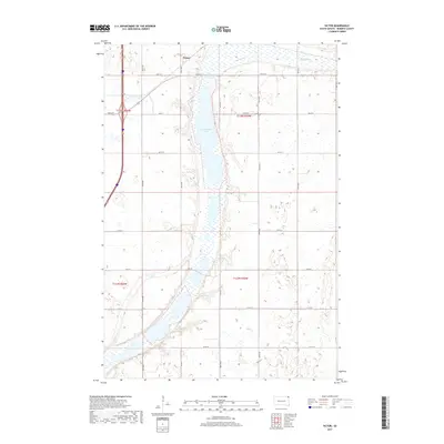
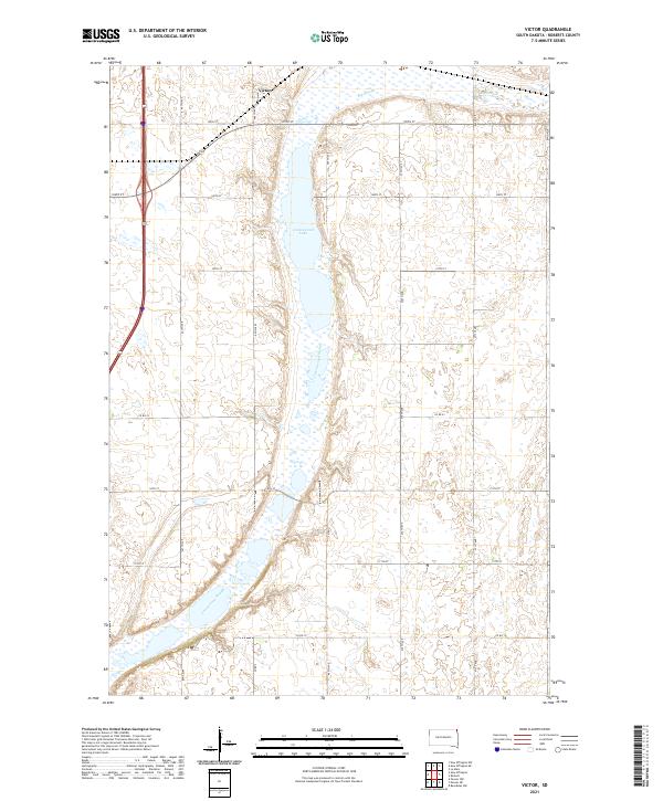
1972 Victor
Roberts County, SD
1977 Peever NE
Roberts County, SD
2010 Peever NE
Roberts County, SD
2012 Claire City SW
Roberts County, SD
2012 Drywood Lakes
Roberts County, SD
2012 Enemy Swim Lake East
Roberts County, SD
2012 Goodwill
Roberts County, SD
2012 Peever NE
Roberts County, SD

2012 Peever NW
Roberts County, SD
2012 Summit NE
Roberts County, SD
2012 Victor
Roberts County, SD
2012 Whitestone Lake
Roberts County, SD
2012 Wilmot NW
Roberts County, SD
2015 Claire City SW
Roberts County, SD
2015 Drywood Lakes
Roberts County, SD
2015 Enemy Swim Lake East
Roberts County, SD
2015 Goodwill
Roberts County, SD
2015 Peever NE
Roberts County, SD
2015 Peever NW
Roberts County, SD
2015 Summit NE
Roberts County, SD
2015 Victor
Roberts County, SD
2015 Whitestone Lake
Roberts County, SD
2015 Wilmot NW
Roberts County, SD
2017 Claire City SW
Roberts County, SD
2017 Drywood Lakes
Roberts County, SD
2017 Enemy Swim Lake East
Roberts County, SD
2017 Goodwill
Roberts County, SD
2017 Peever NE
Roberts County, SD

2017 Peever NW
Roberts County, SD
2017 Summit NE
Roberts County, SD
2017 Victor
Roberts County, SD
2017 Whitestone Lake
Roberts County, SD
2017 Wilmot NW
Roberts County, SD
2021 Claire City SW
Roberts County, SD
2021 Drywood Lakes
Roberts County, SD
2021 Enemy Swim Lake East
Roberts County, SD
2021 Goodwill
Roberts County, SD
2021 Peever NE
Roberts County, SD
2021 Peever NW
Roberts County, SD
2021 Summit NE
Roberts County, SD
2021 Victor
Roberts County, SD
2021 Whitestone Lake
Roberts County, SD
2021 Wilmot NW
Roberts County, SD
Featured Locations
- United States
- Roberts County, SD
- Old Agency District, SD
- Agency Village, Old Agency District
- Goodwill, Old Agency District