
1918 Map of Peever
USGS Topo · Published 1918About this map
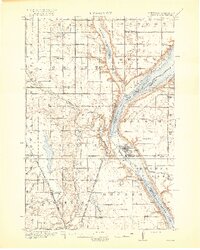
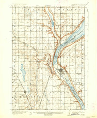
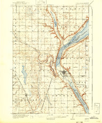
Lake Traverse and Big Stone Lake dominate this 1916 survey, separated by the prominent glacial valley known as Browns Valley. This low-lying continental divide is a focal point of settlement and transport, anchored by the town of Browns Valley and served by the Great Northern railroad. To the west, the Sisseton and Wahpeton Indian Reservation boundary cuts through a landscape dotted with numerous rural schools, including Windom School, Erdman School, and Ogram School. The village of Peever sits along the Chicago Milwaukee and St Paul line, surrounded by local drainages like Goodwill Creek and Agency Creek. The map provides a look at the early 20th-century prairie economy, where the border between South Dakota and Minnesota is defined by the Little Minnesota River and the sprawling wetland complex of Cottonwood Slough.
Find a feature on this map
49 named features on this map. Tap any name to fly to it.
Don’t see what you’re looking for? This feature index may not catch every label — zoom into the map to look around manually.
Map Details
Editions of this 1918 Peever Map
4 editions found
Other maps of this area

1915 · White Rock
USGS Topo · 1:62,500

1916 · Peever
USGS Topo · 1:62,500

1916 · Beardsley
USGS Topo · 1:62,500

1917 · New Effington
USGS Topo · 1:62,500

1918 · White Rock
USGS Topo · 1:62,500

1918 · Beardsley
USGS Topo · 1:62,500

1953 · Milbank
USGS Topo · 1:250,000

1954 · Big Stone Lake
USGS Topo · 1:62,500

1958 · Milbank
USGS Topo · 1:250,000

1964 · Claire City
USGS Topo · 1:24,000
Featured Places
- Browns Valley, MN
- Peever, Old Agency District
- Old Agency District, SD
- Lake Traverse District, SD
- Heipa District