
1964 Map of Claire City
USGS Topo · Published 1966About this map
Claire City serves as the primary hub of this northeastern South Dakota landscape during the mid-1960s, situated along the Soo Line railroad. The township boundaries of Norway and Enterprise define the local jurisdiction, which is characterized by a high concentration of wetland basins and small glacial lakes. This water-rich geography is drained by the Little Minnesota River, which meanders through the eastern portion of the quadrangle. For those researching local heritage, the map identifies several congregational landmarks including St Boniface Cem, Nidaros Cem, and Stavanger Cem, reflecting the area's immigrant settlement patterns. Small-scale resource extraction is evident from the numerous Gravel Pit and Gravel Pits markings that dot the countryside, while a centralized Townhall and a Substation mark the community infrastructure of the era.
Find a feature on this map
13 named features on this map. Tap any name to fly to it.
Don’t see what you’re looking for? This feature index may not catch every label — zoom into the map to look around manually.
Map Details
Editions of this 1964 Claire City Map
This is the sole edition of this map. No revisions or reprints were ever made.
Other maps of this area

1916 · Peever
USGS Topo · 1:62,500

1917 · New Effington
USGS Topo · 1:62,500

1918 · Peever
USGS Topo · 1:62,500

1953 · Milbank
USGS Topo · 1:250,000

1958 · Milbank
USGS Topo · 1:250,000
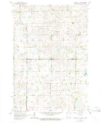
1964 · Claire City NE
USGS Topo · 1:24,000
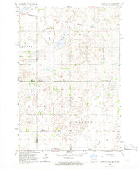
1964 · Claire City NW
USGS Topo · 1:24,000

1964 · Claire City SW
USGS Topo · 1:24,000

1970 · Whitestone Lake
USGS Topo · 1:24,000

1970 · Sisseton
USGS Topo · 1:24,000