Loading...
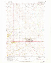
Loading map...1970 Map of Sisseton
USGS Topo · Published 1973About this map
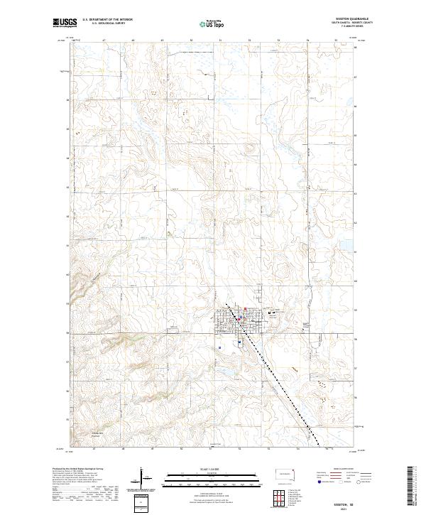
Sisseton serves as the central hub for this portion of the Sisseton Indian Reservation in Roberts County. The town is oriented around the Chicago Milwaukee St Paul and Pacific railroad, which cuts a straight path through the southern townships of Goodwill and Sisseton. Cultural markers of the era are clearly visible, from the Hospital and Drive-in Theater on the outskirts of the main town site to the Trailer Park and St Peters Sch located near the local cemeteries.
Find a feature on this map
22 named features on this map. Tap any name to fly to it.
Don’t see what you’re looking for? This feature index may not catch every label — zoom into the map to look around manually.
Map Details
Date Portrayed1970
Date Published1973
PublisherU.S. Geological Survey
Map TypeTopographic
Scale1:24,000
Physical Dimensions22 x 27 inches
Editions of this 1970 Sisseton Map
This is the sole edition of this map. No revisions or reprints were ever made.
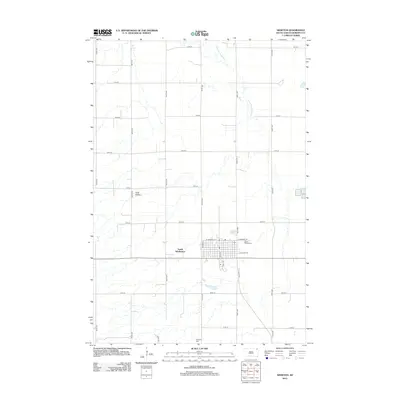
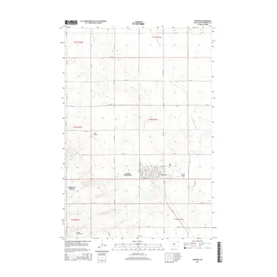
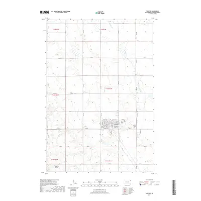
Historical Maps of Sisseton Through Time
6 maps found

Featured Locations
- Heipa District
- Roberts County, SD
- Long Hollow District, SD
- Old Agency District, SD
- Sisseton, Long Hollow District
Source Details
SourceU.S. Geological Survey
CopyrightPublic Domain