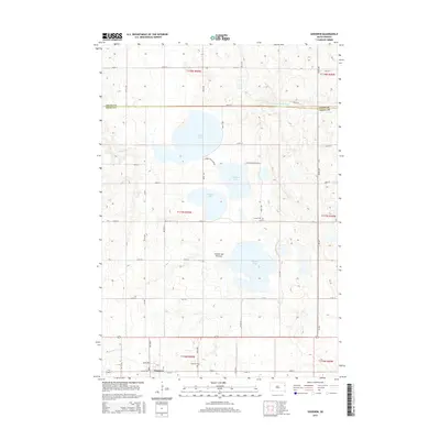
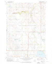
2015 Map of Goodwin
USGS Topo · Published 2015About this map
The settlement of Goodwin serves as the focal point of this Eastern South Dakota landscape, situated along the southern edge of the Coteau des Prairies highland. The region is defined by a dense cluster of glacial lakes, including Round Lake, Bullhead Lake, School Lake, and the sizeable Wigdale Lake. These water bodies are connected by a network of seasonal drainages such as Willow Cr and Stray Horse Cr, while the S Fork Yellow Bank River traverses the northern section near the Grant County line. For those researching local heritage, the map identifies the Goodwin Cem and Larson Cem, providing specific locations for family history work in Deuel County. The township grid is well-established, with roads like Chicago Ave and Dixon Ave forming the small-town core of Goodwin, transitioning into a rural network of numbered avenues and streets that cross the prairie.
Find a feature on this map
38 named features on this map. Tap any name to fly to it.
Don’t see what you’re looking for? This feature index may not catch every label — zoom into the map to look around manually.
Map Details
Editions of this 2015 Goodwin Map
This is the sole edition of this map. No revisions or reprints were ever made.
Other maps of this area
1953 · Milbank
USGS Topo · 1:250,000

1953 · Watertown
USGS Topo · 1:250,000
1958 · Milbank
USGS Topo · 1:250,000

1958 · Watertown
USGS Topo · 1:250,000
1970 · Kranzburg SW
USGS Topo · 1:24,000
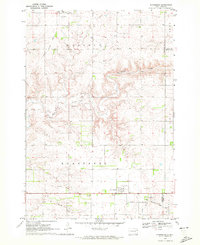
1970 · Kranzburg
USGS Topo · 1:24,000
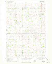
1970 · Bemis
USGS Topo · 1:24,000
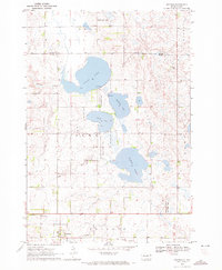
1970 · Goodwin
USGS Topo · 1:24,000
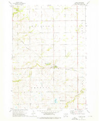
1973 · LaBolt
USGS Topo · 1:24,000
1973 · Tunerville
USGS Topo · 1:24,000